

After doing St. Johns and the Avalon Peninsula, we made our way northwest towards the northern part of the province. We drove up to the Bonavista Peninsula, located directly above the Avalon Peninsula.

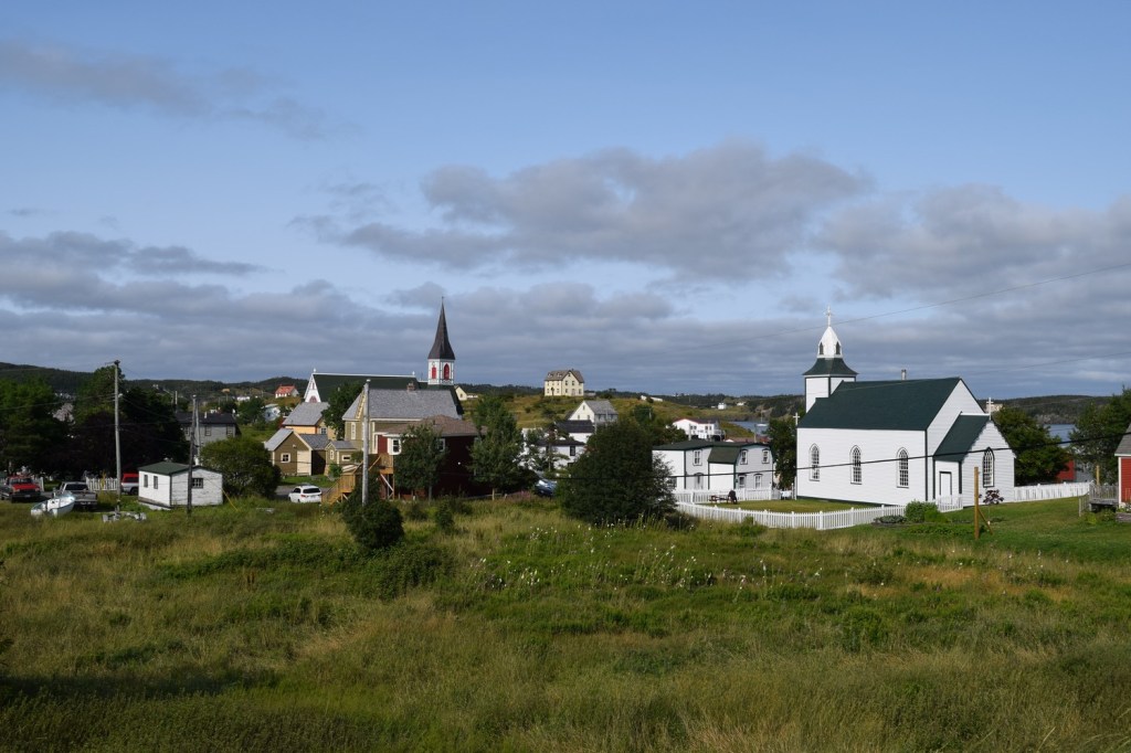
Trinity is a picturesque town that started as a summer fishery. Men from the West Country of England and the Channel Islands came over in the 1570s before a permanent settlement was established a number of years later. It was captured on three different occasions by the French during the Anglo-French wars of the 18th century but survived and eventually prospered.
Trinity became a merchant hub, with merchants there exporting upwards of 30-40% of cod, train oil, and seals produced in Newfoundland at the time. By the late 18th century the town was a port for up to 35 ocean-going ships regularly exporting goods such as dried cod.


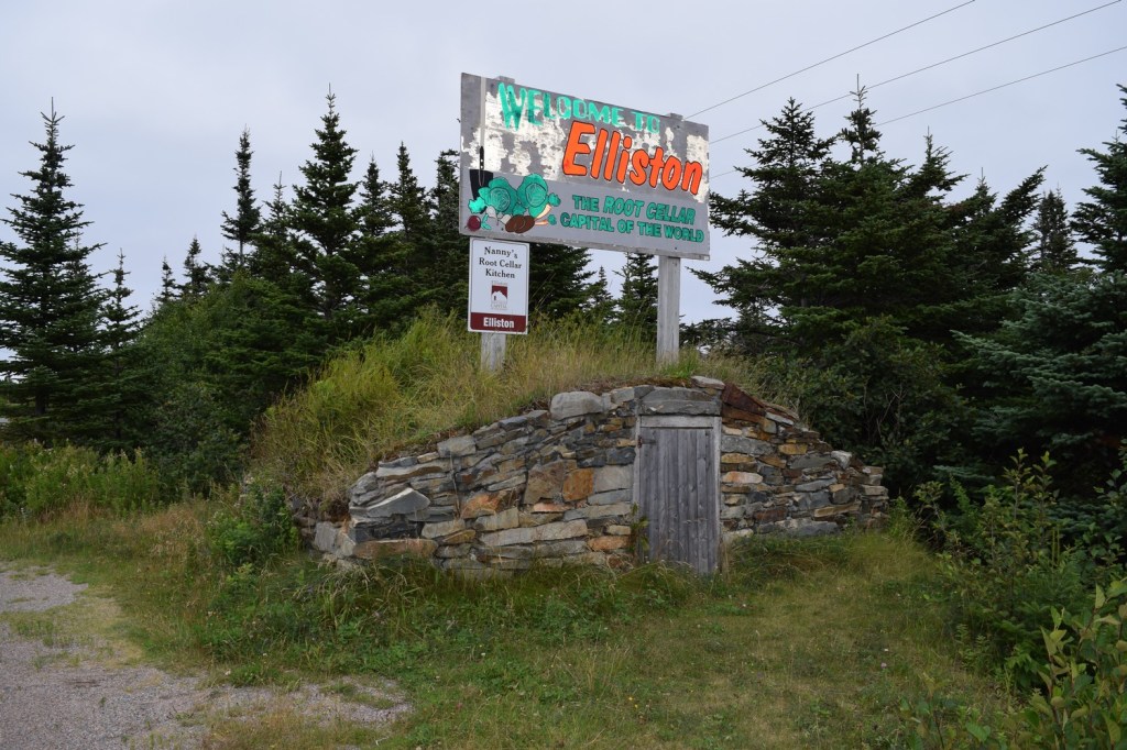
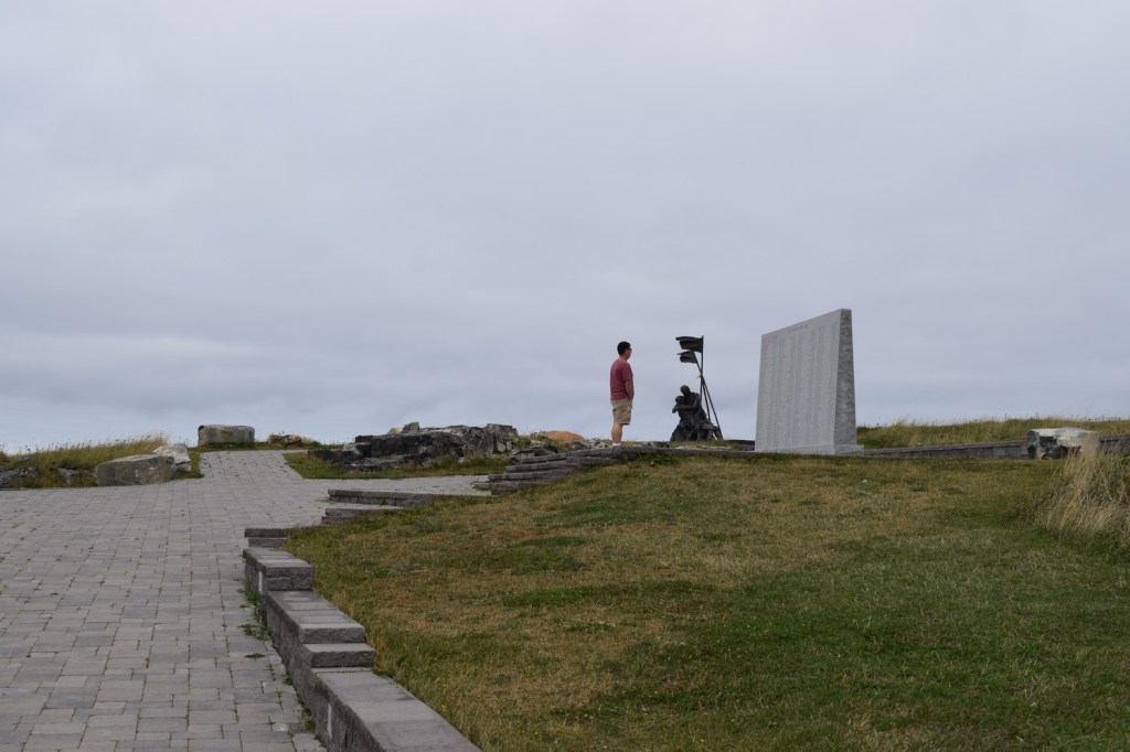
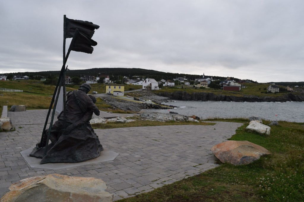
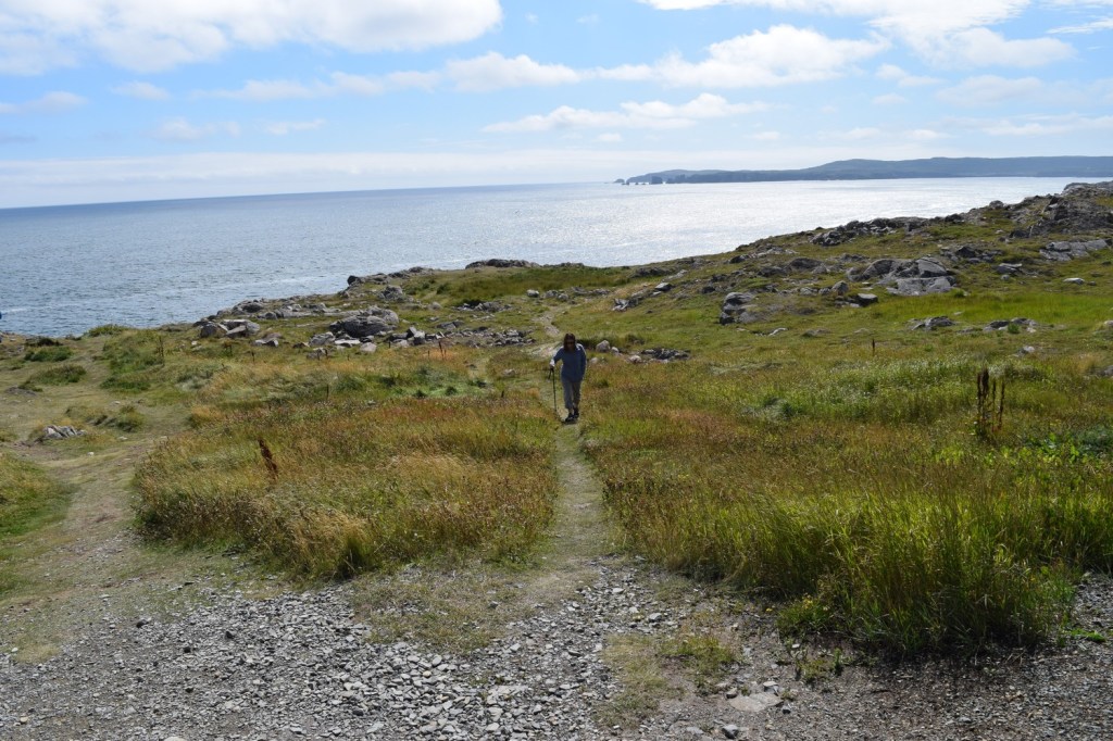
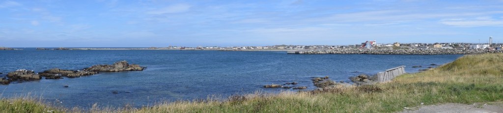
Driving along the coast we headed onto the Bonavista Peninsula. A short distance from the town of Bonavista is Elliston, where we stopped for the view and to visit the Sealer’s Memorial.
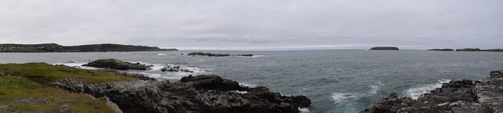
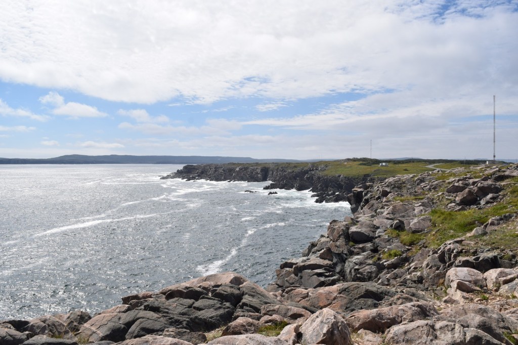
The next day we explored Bonavista, first taking in the lighthouse located at the rocky tip of the peninsula. The town is known for iceberg watching in the spring, but August was not the time to see them. However, there was rugged beauty in abundance. We took the Cape Shore trail near the town to visit the lighthouse.


Bonavista has the fourth oldest lighthouse in Newfoundland. It was built in 1843 and is now a museum.


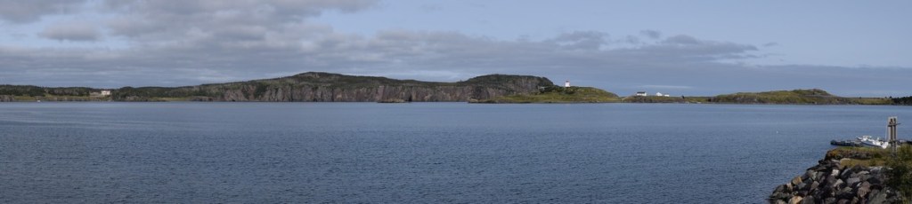
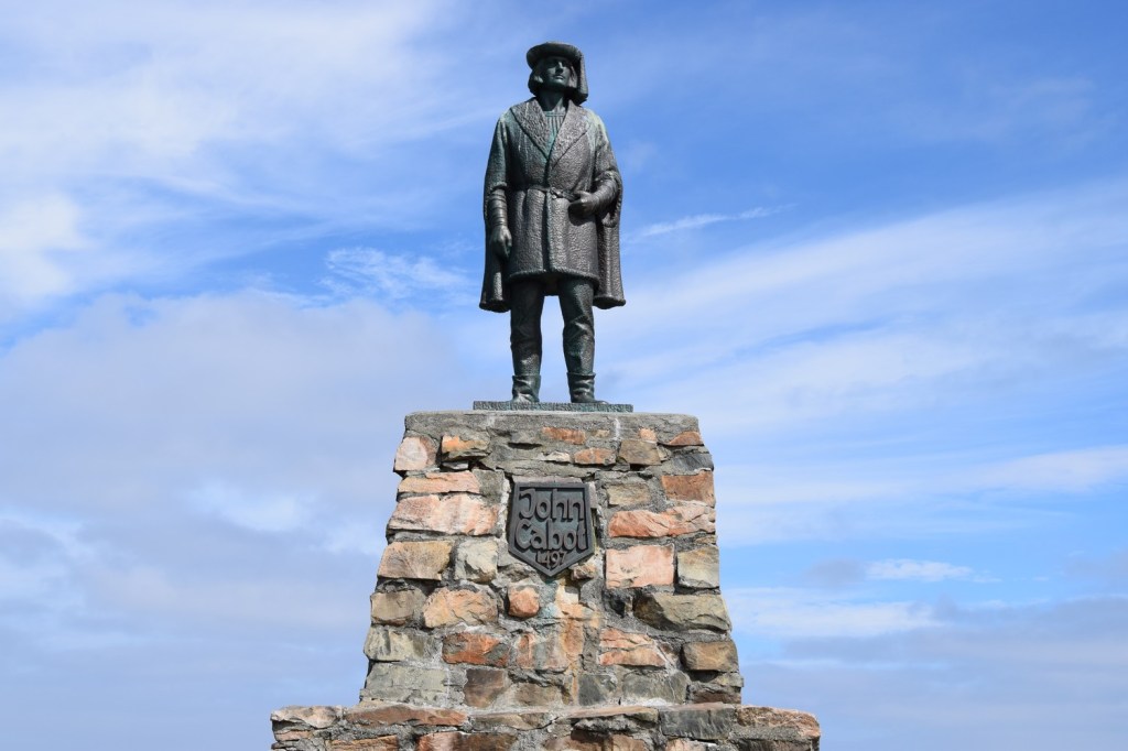
Looking across at Bonavista Bay is a statue of John Cabot (Giovanni Caboto), the Italian navigator and explorer under the patronage of Henry VII of England. During his second voyage in 1497 he reportedly made landfall in the area. The town received its name because Cabot reputedly exclaimed “O Buon Vista” (“Oh, Happy Sight!”) when he first saw land.
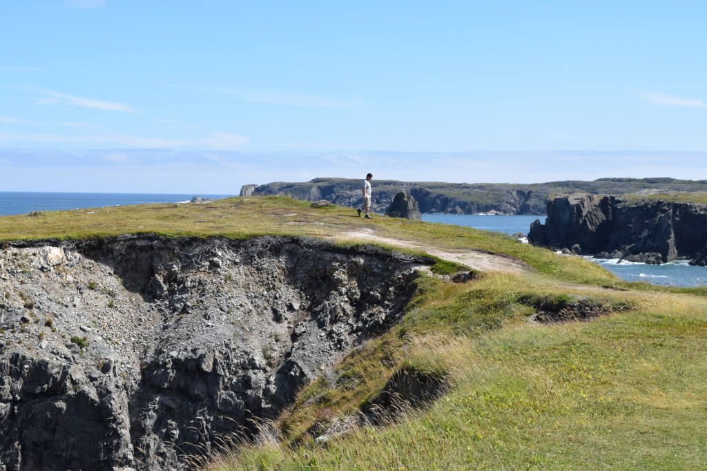
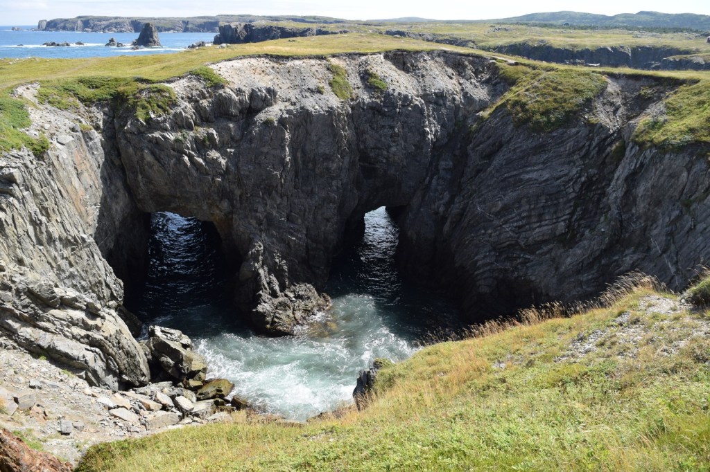
We then went to nearby Dungeon Provincial Park, There we could see the effects of slow erosion on the sedimentary rock causing cave formations leading into the ocean. The nickname of “dungeon” seemed appropriate.


We continued west along the coast towards the island of Twillingate, now connected to the mainland by a bridge. The area around Twillingate has seen a few different aboriginal groups come and go since the first arrivals 3500 years ago. The French had been fishing off the coast of Twillingate since the 1500s, but European settlers didn’t arrive until the 1700s. Originally a fishing community, the town has had to adjust after the collapse of the cod industry in the 1990s.
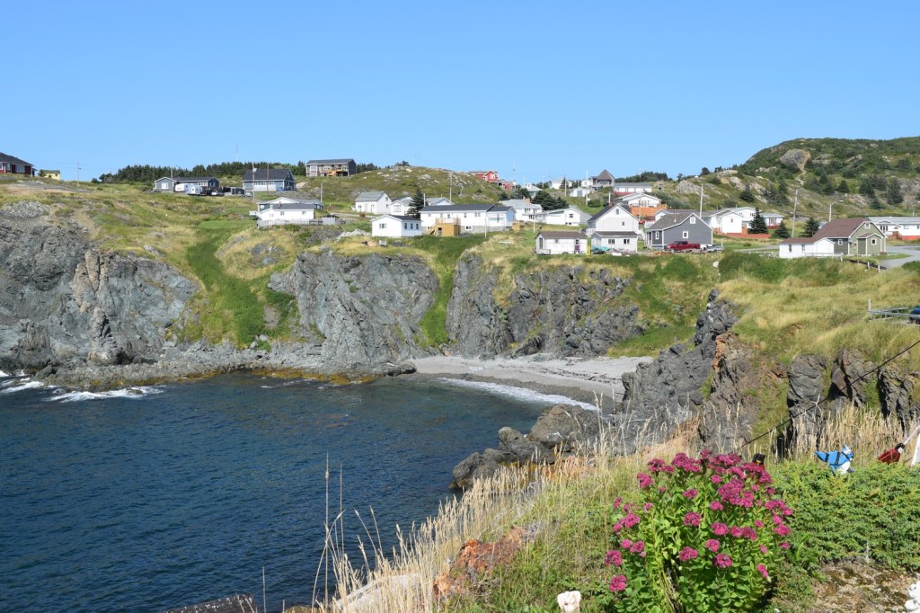
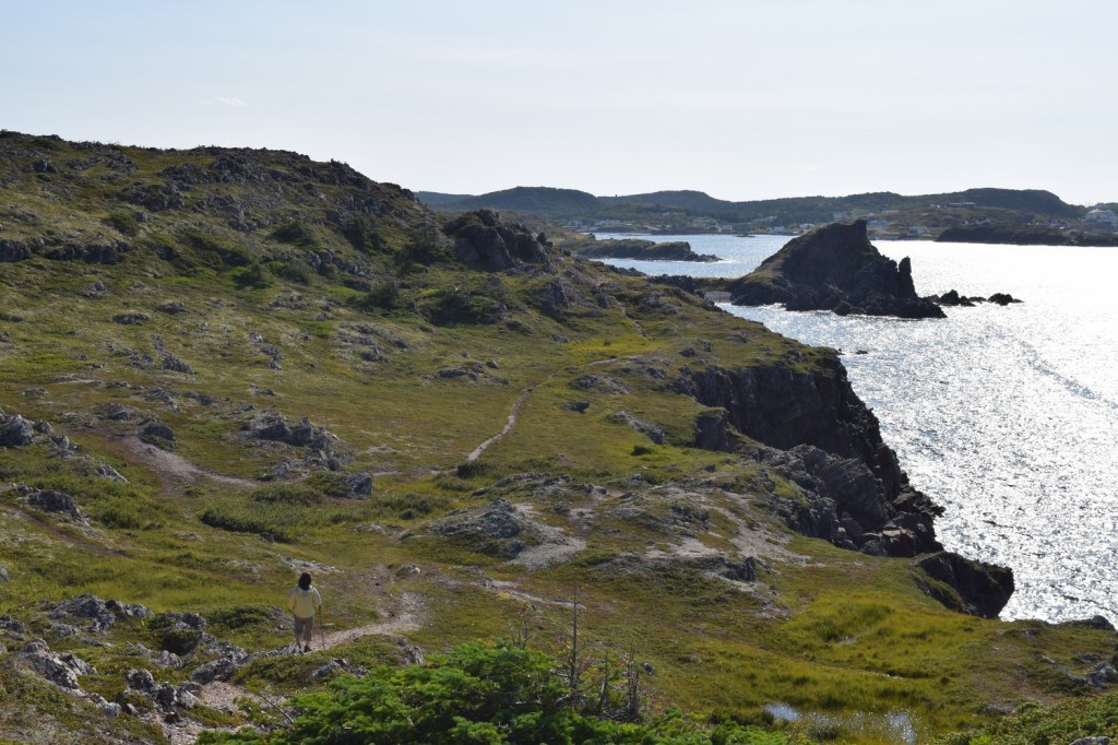
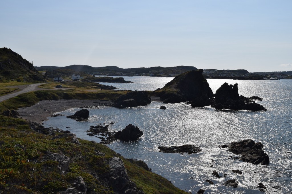
There are a number of exceptional trails in and around the town of Twillingate. We first did the ones directly around the town.


One of the more popular trails we took was the French Beach walking trail. Located a little northeast of town, it winds along the coast. It requires some up and down hiking to access some of the isolated coves include French Beach but was worth the effort.
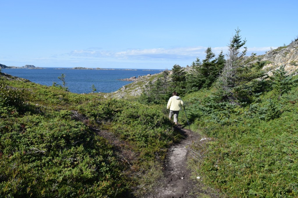

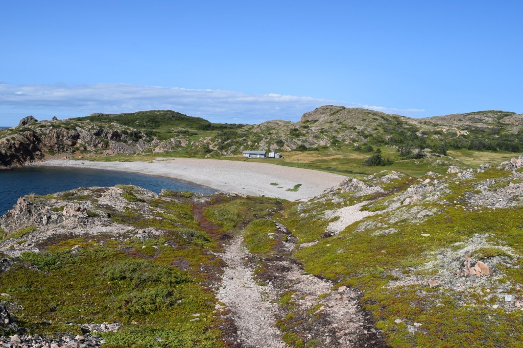

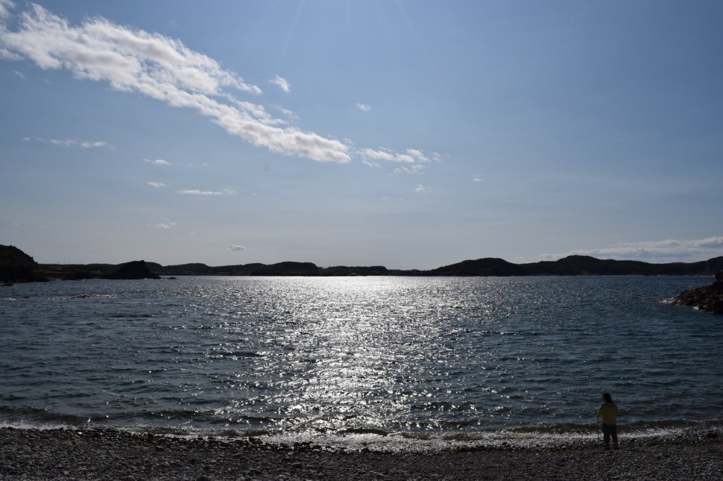

The trails around Twillingate were numerous and generally easy to access. They really gave us a sense of the wild, rocky landscape that has been a source of habitation for so many centuries.
After spending a couple nights in Twillingate, we were ready to head to the western and southern side of Newfoundland. One place we wanted to visit but couldn’t due to time was Fogo Island, located close to Twillingate but accessible only by boat. Apparently its isolation has allowed some of the inhabitants to retain traces of the Elizabethan English and Old Irish dialects of their ancestors. That’s one for next time!
