
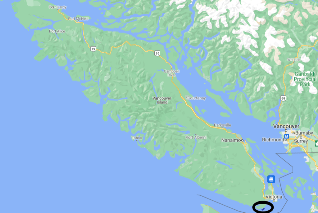
After going through the trails and ocean views of central Vancouver Island, we turned south and made our way to Sooke, a town where we stayed for a few days. Sooke is a central location to visit Victoria (just an hour away), the Juan de Fuca trail (less than one hour west), and the nearby Sooke trails. Just south of the town of Sooke is the East Sooke Trail, part of East Sooke Regional Park. The park includes 50 km (31 miles) of trails that go along the coast and forests of southern Vancouver Island. The best part of the park system is the 10 km (6 mile) coast trail that takes up to 8 hours one way.
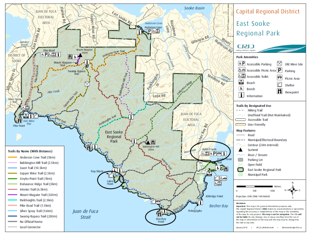
Ideally the trip goes all the way to Pike Point (the far left location in the map above). However, due to the length of the trip it only works for backpackers or people who park at one end and get transported to the other end.
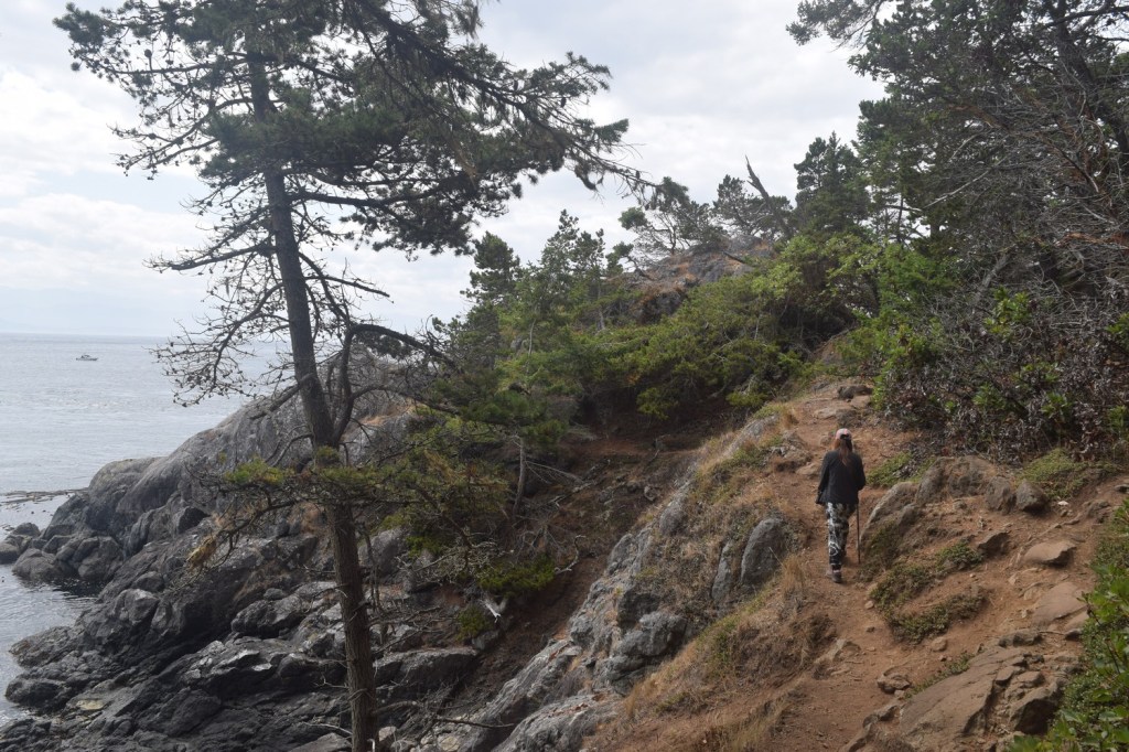
Though a one-way trip requires more planning, it is possible to get much of the experience (and challenge) in an abbreviated round trip. Taking the trail from Aylard Farm to Cabin Point is a great way to experience ocean views along the Juan de Fuca Strait without worrying about the return trip. At 5.5 km (3.4 miles), it’s about half the distance of the full coastal walk and works as a loop trail with connections back through the forest. We spent almost 4 hours walking and scrambling up and down the rocky coastline before enjoying a much faster and less strenuous forest walk back to the car.
The parking lot at Ayland Farm can handle a lot of cars, and there is no cost to park and use the trail.
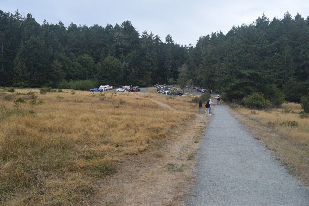
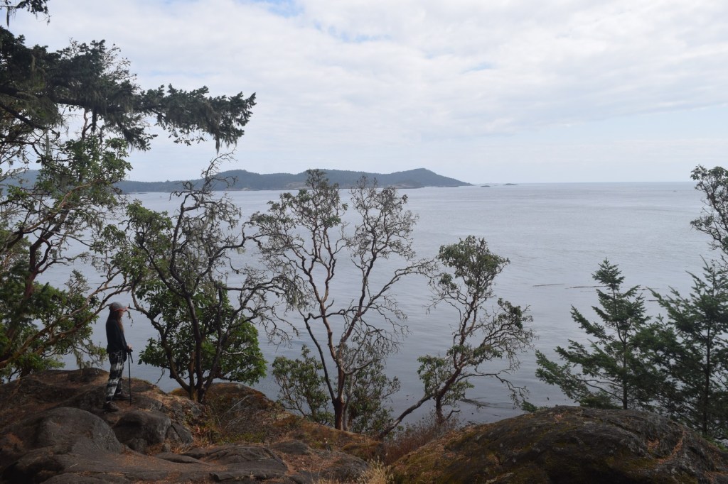
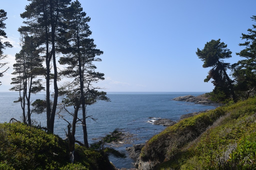
The initial half hour of the trip takes place over gentle terrain with some small beaches close to the trail. It was the busiest section with people constantly passing by.
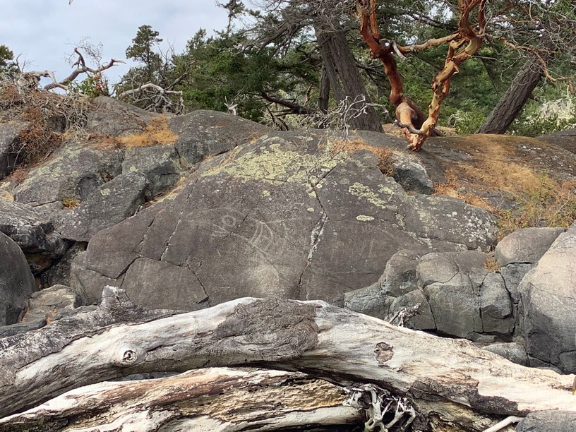
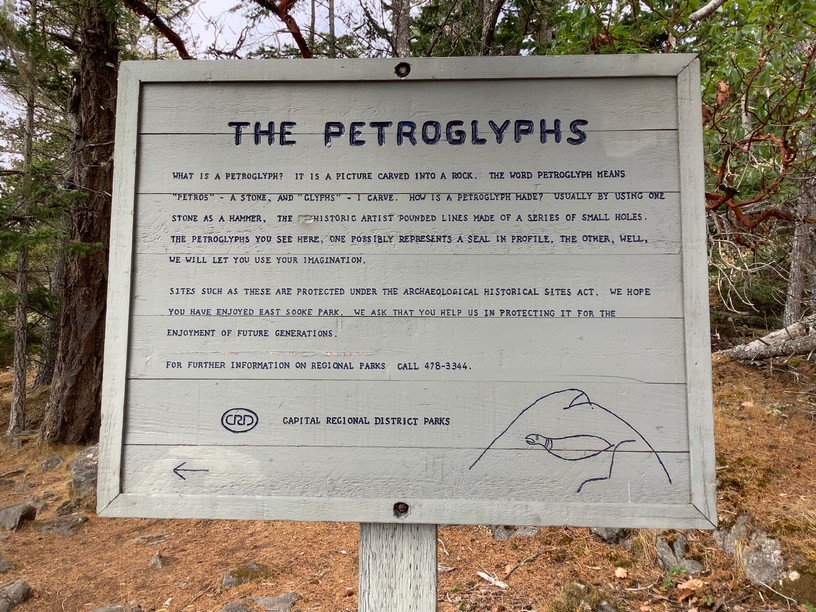
A short distance along the coast trail there is a petroglyph (rock carving) of a seal, created by scraping and pecking the rock face using stone tools. It is an aboriginal tradition that goes back thousands of years.
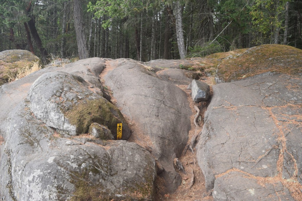
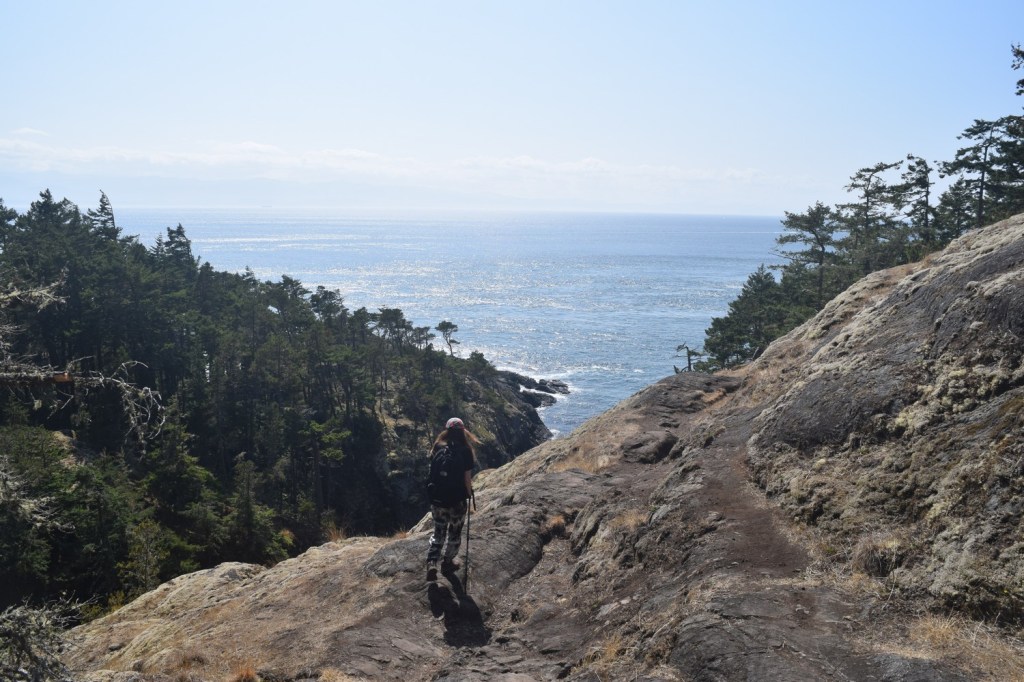
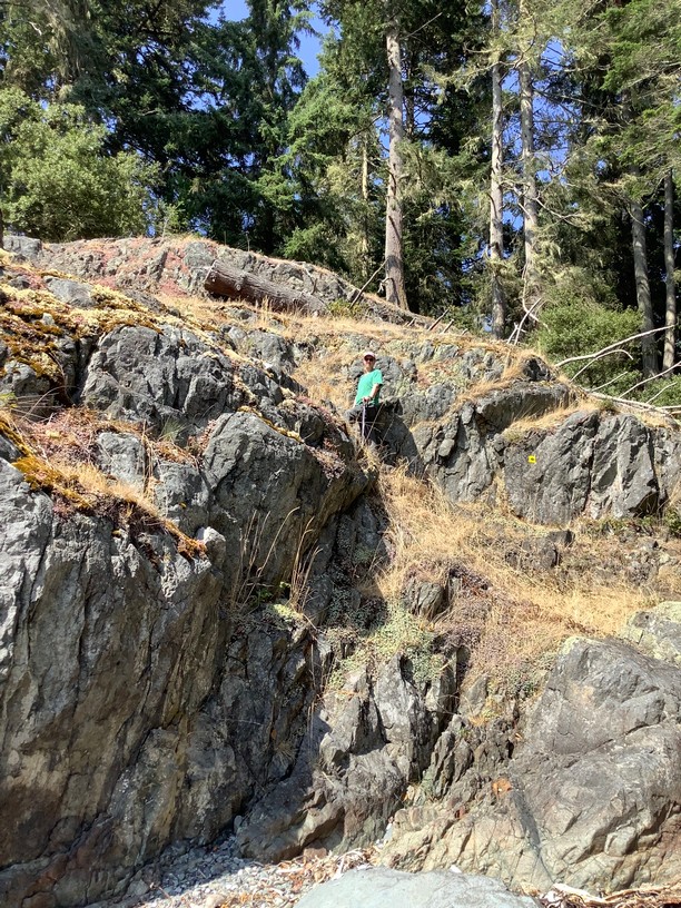
After an hour into the hike there were few people around. The hike became more strenuous, with some scrambling required and quite a lot of up and down movement.
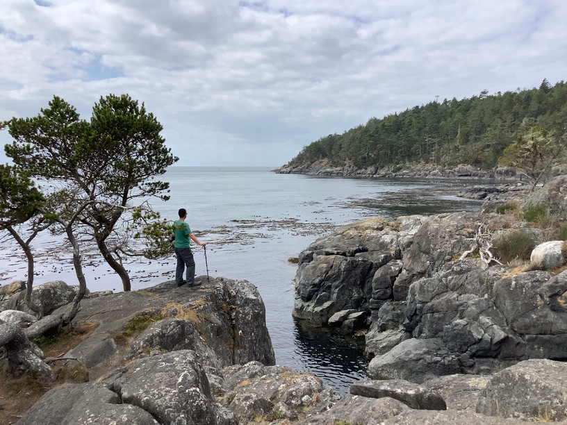
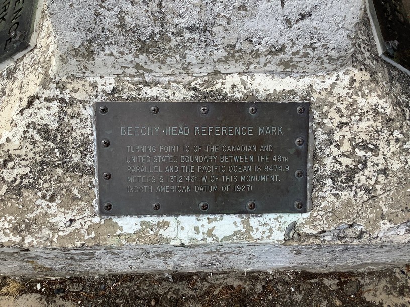
About half-way through the hike we came to Beechey Head. The spot was was named after Rear Admiral William James Robert Beechey, a Royal Navy navigator. Beechey served under the famous British explorer and naval officer Lieutenant John Franklin and later became president of the Royal Geographical Society.
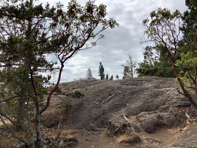
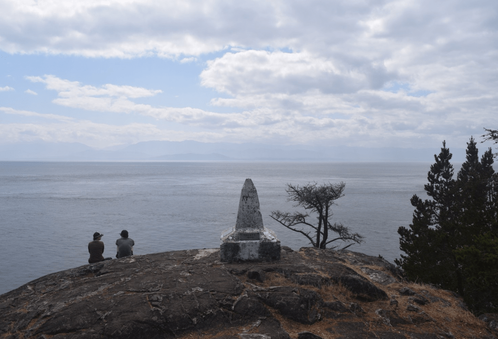
It was a scramble from the forest to get up the bare rock where a reference marker sat.
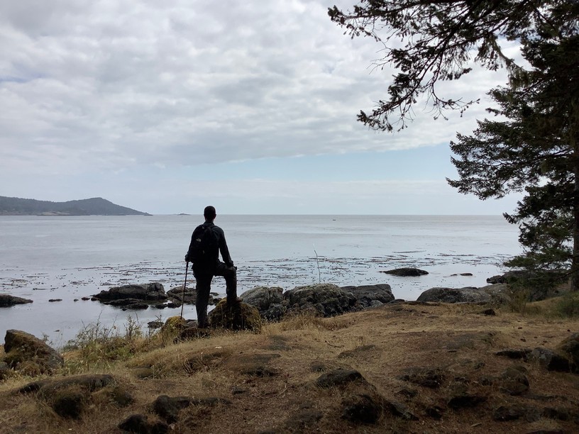
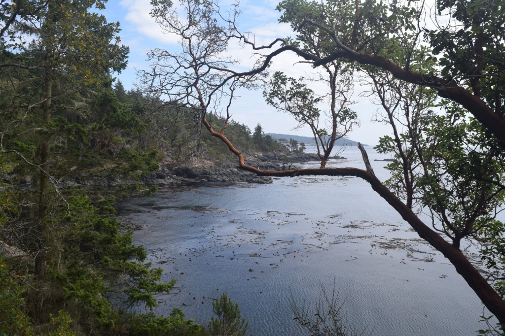
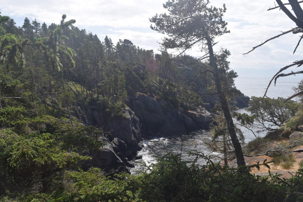
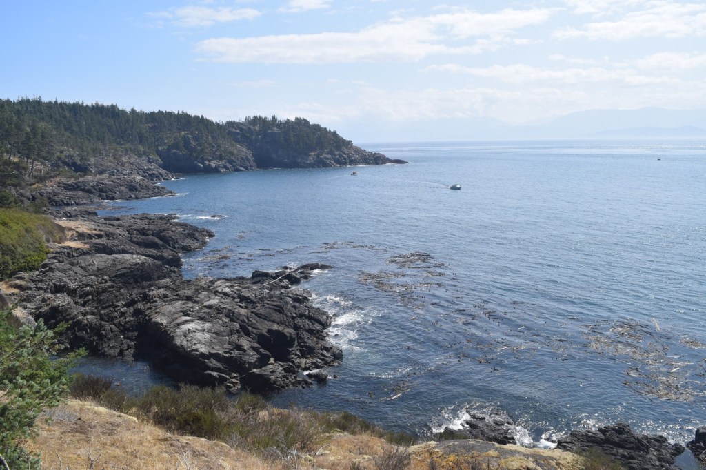
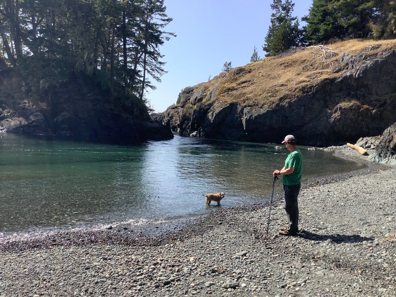
From there we continued along the coastal trail, with only the occasional hiker passing by. Along with a couple larger bays there were numerous small coves to view along the winding trail.
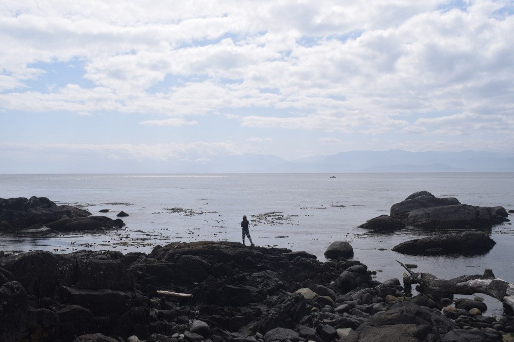
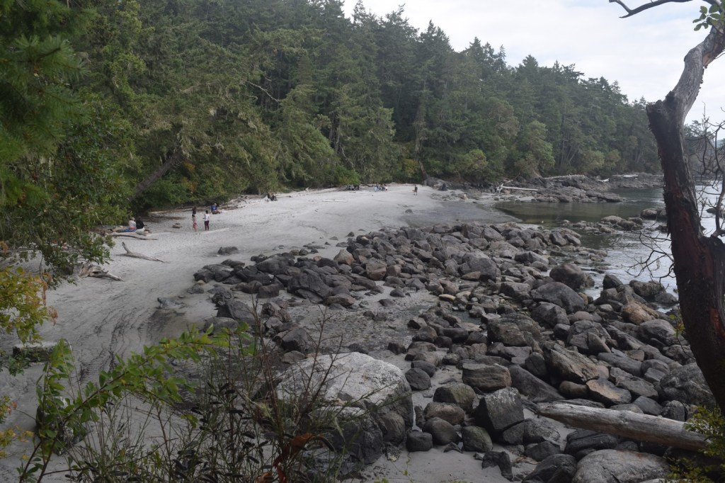
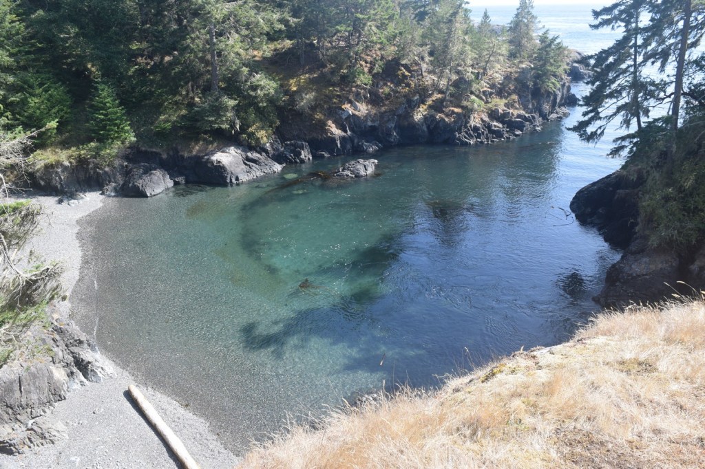
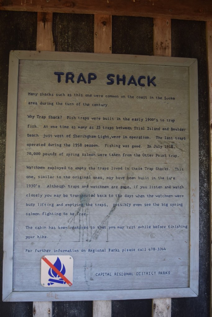
After hours of hiking we were close to the turnaround point. The “trap shack” was the marker where we would head back through the forest. Just before we reached the trap shack, we visited a small cove below it.
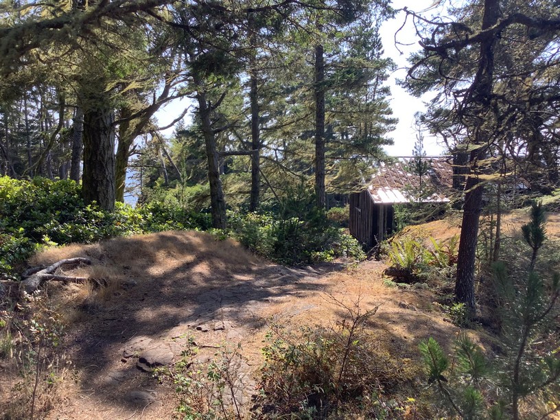
The trap shack used to be a common sight along the coast, and this was a reproduction of a style from the 1930s. Now used as a rest stop, was once a place for watchmen to sleep. With salmon being caught regularly in the area for over 100 years, people were needed to empty the catch while protecting it from others. The watchmen would be employed to lift and empty the traps and stay in the shacks through the fishing season.
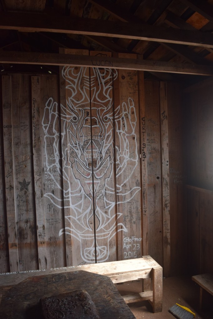
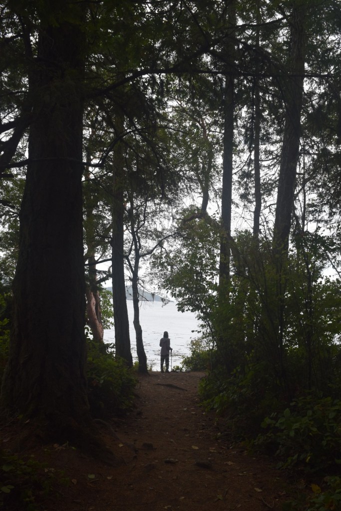
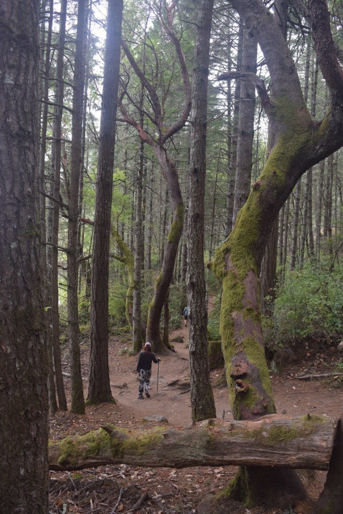
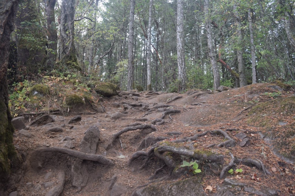
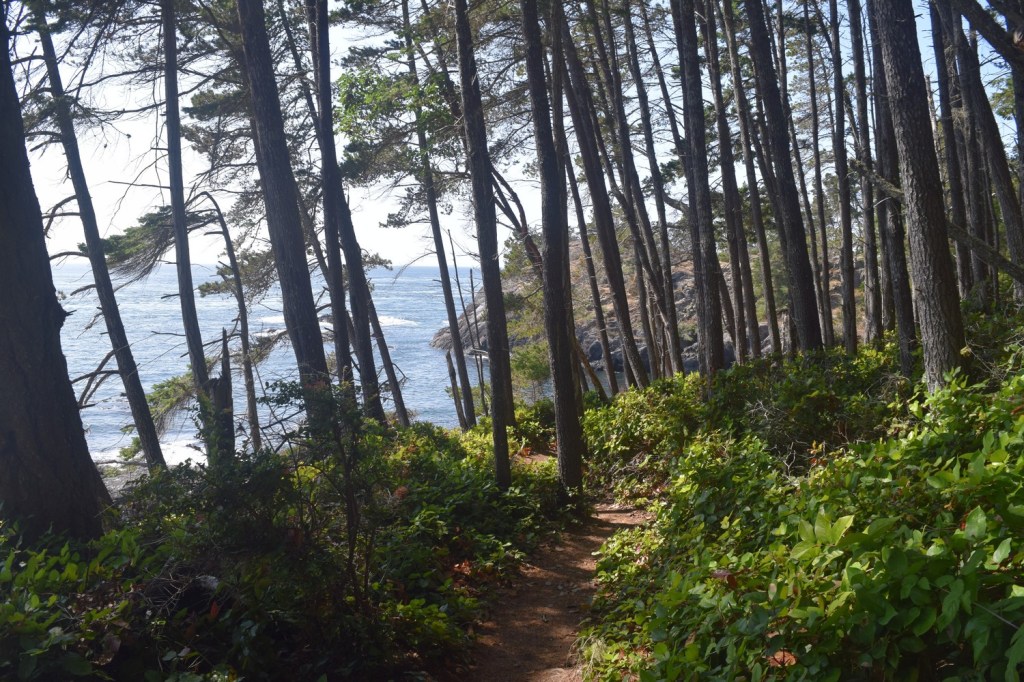
The shack was empty except for a few artistic designs on the walls and windows. After visiting the trap shack we headed back through the forest using an inside trail. Although the forest trail was not flat, the trip was on relatively smooth, sloping terrain. It was a nice change from the rough trail we used for most of the trip. and eventually we returned to our starting point at Aylard Farm. It was a challenging hike, but sore ankles were a small price to pay for the coastal views!