

We did a day trip from Carvoeiro to the area around Sagres, driving about an hour westward until we reached the end of the road. It was an easy drive through the main A22 highway along the south coast.
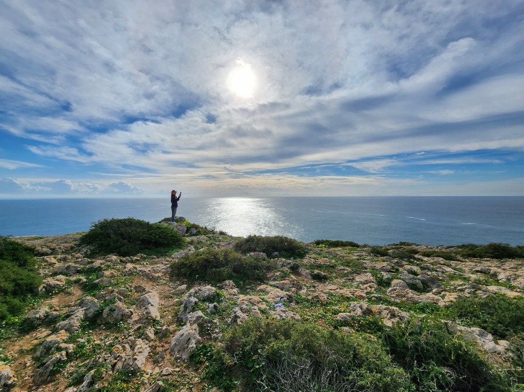
The destination was Sagres and Cape of St. Vincent. Considered one of the more remote parts of Portugal, Sagres lies at the south-western tip of Portugal. It is also the most south-western point in continental Europe.
The area has an important link with history. In ancient times, the Romans considered it to be “the end of the world.” In later times, Sagres became closely associated with the Age of Discovery when Portuguese ships made their way around the world.
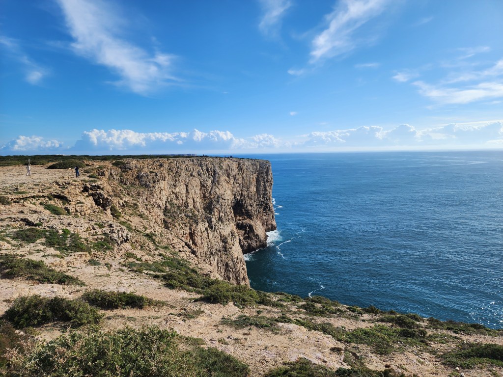
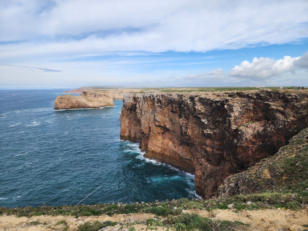
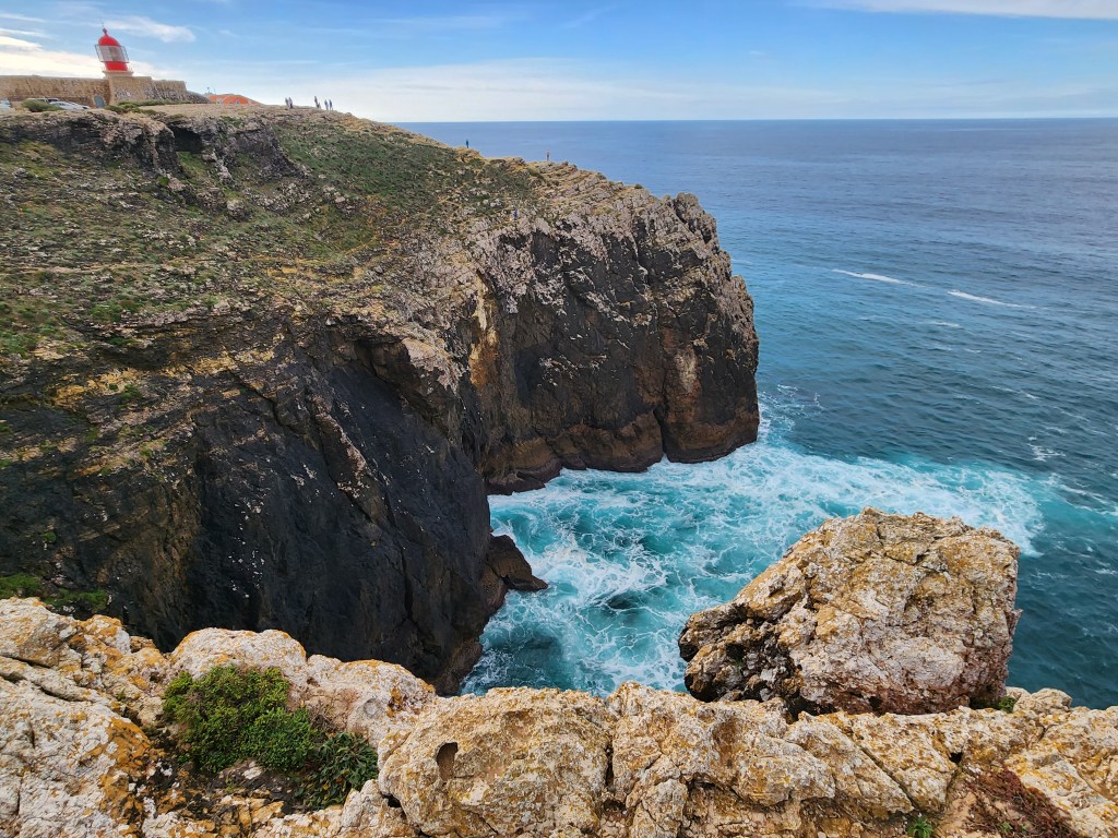
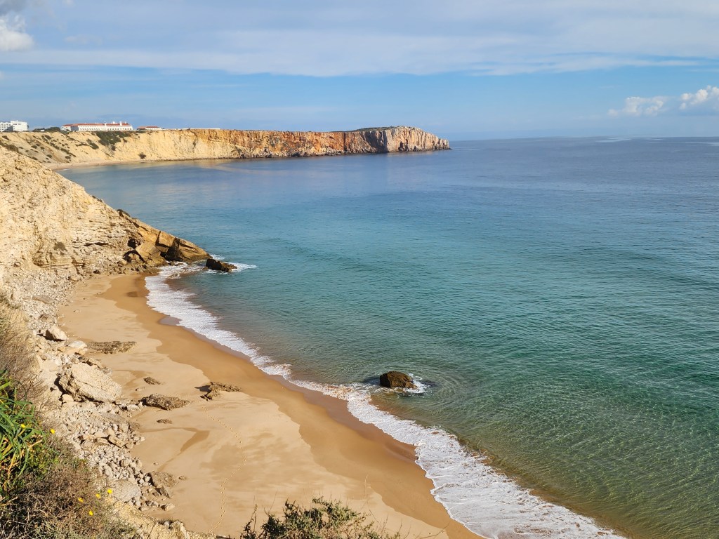
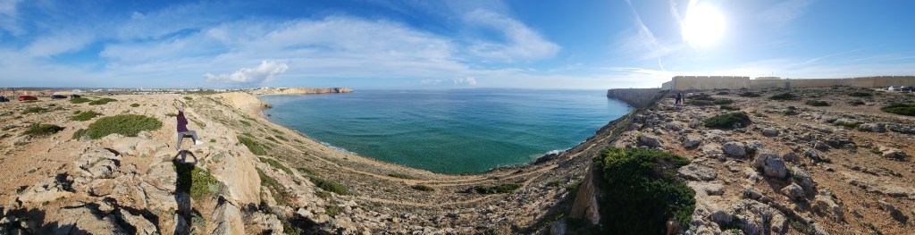
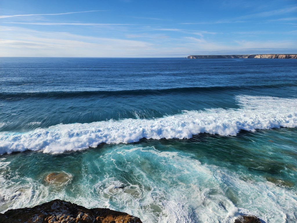
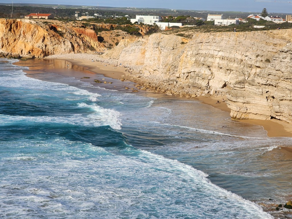
The town itself is small and simple, but the surrounding beaches draw surfers from far and wide. Dominated by high cliffs overlooking the Atlantic Ocean, the area is influenced by Mediterranean currents. The rocky features vary between 50 m (160 ft) and 200 m (660 ft) in height and the greenery consists mostly of low bushes and scrub.
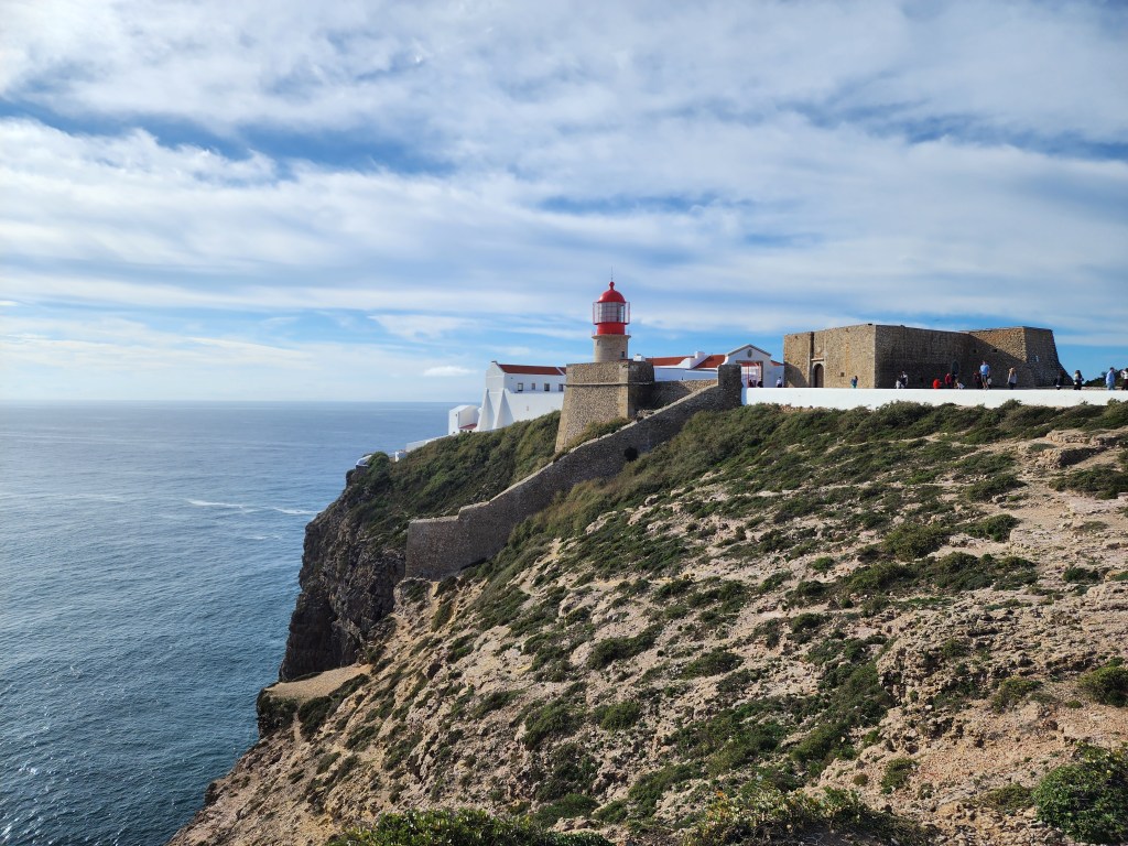
Right at the corner of the land lies a lighthouse. It was inaugurated in 1894, part of the 5th centenary commemorations marking the birth of Henry the Navigator. In 1958, it was decided to demolish the building and a new lighthouse was inaugurated on 1 April 1960.
A curious fact is that this area is one end of the world’s longest estimated straight-line path over land, at 11,241 km (6984 mi). The other end of this imaginary line would end near Jinjiang, China


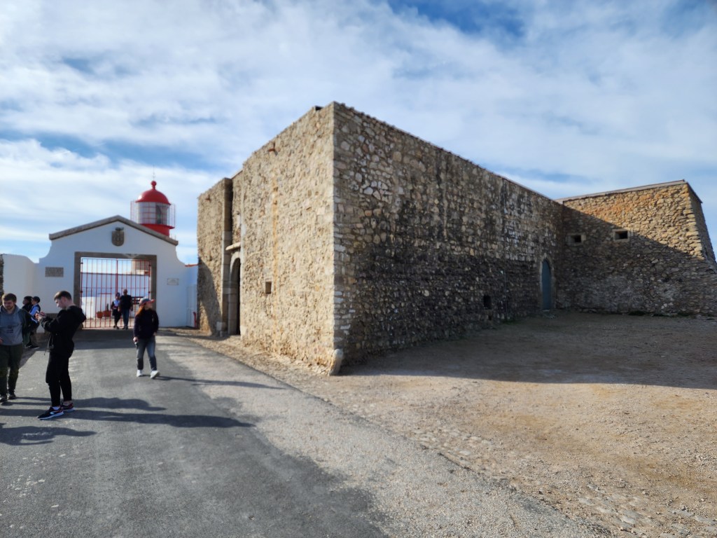
After spending some time around the Cape of St. Vincent, we headed back closer to the town to see the famous Sagres fortress.
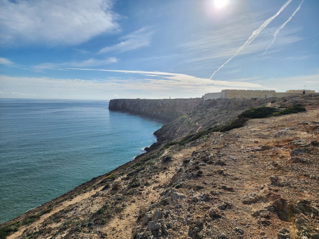

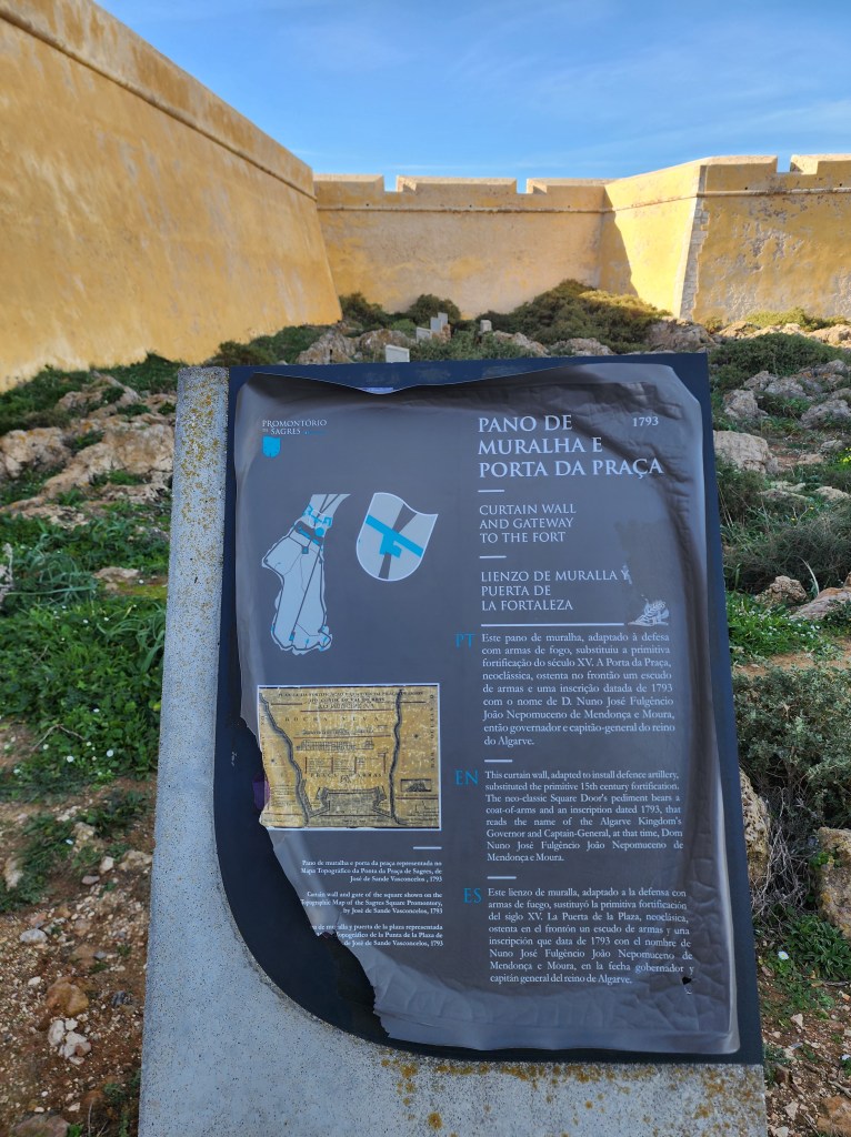
Fortress of Sagres was ordered by Henry the Navigator in the 1400s. It was built to to protect the strategic coastal position at Ponta de Sagres, and the coves that sheltered shipping. The fortification was remodeled in the 16th, 17th and 18th century, after various attacks including an assault by Francis Drake in 1587. The current version dates to 1793.
Unfortunately for us, the fortress was closed on the day we visited so we could go inside!

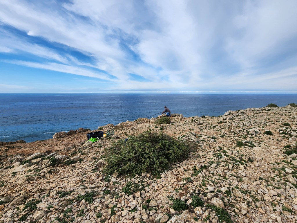
Just a short distance from the fortress is a sweeping coastal area with strong waves. The rough Atlantic waters have made this area a very popular spot for surfers and body boarders, and a number of them were in the water as we watched from high above.
Although this part of Portugal might appeal more for surfers, we were impressed by the rugged beauty of the area, along with the historical significance of the place where so many ships sailed made their way to the corners of the globe over the centuries.

One thought on “Views from the “End of the World” in Southwest Portugal”