


The Nazca lines are a site we’ve wanted to visit since we both were young. I recall watching TV shows and reading books that pushed the idea that ancient aliens used the lines as markers and landing strips for their space ships. While I don’t believe in that kind of idea anymore, the lines still held a fascination for us due to their age, massive size and location in an isolated region in the southern part of Peru.
From Paracas we took the afternoon bus (Peruhop again) south towards Nazca, slowly gaining elevation as we travelled. The trip only took about three hours, with a stop at the Nazca lines along the way. The drive south was mostly dry and hilly, as this region gets little rainfall every year.


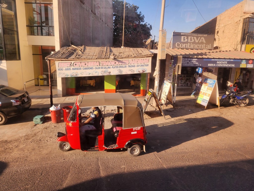
We passed through a few towns along the way. They seemed very sleepy with not many people visible as we passed by. We did notice a lot of tangerines for sale during one stretch, and soon discovered why. There were a series of tangerine groves hidden within this desert region.
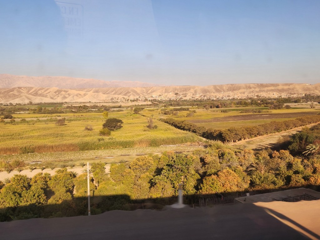
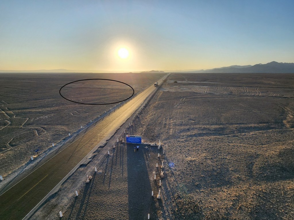
Eventually the land flattened out and we approached the Nazca region. There was only a single highway on this route and it wasn’t particularly busy other than large 18-wheel transports from time to time.


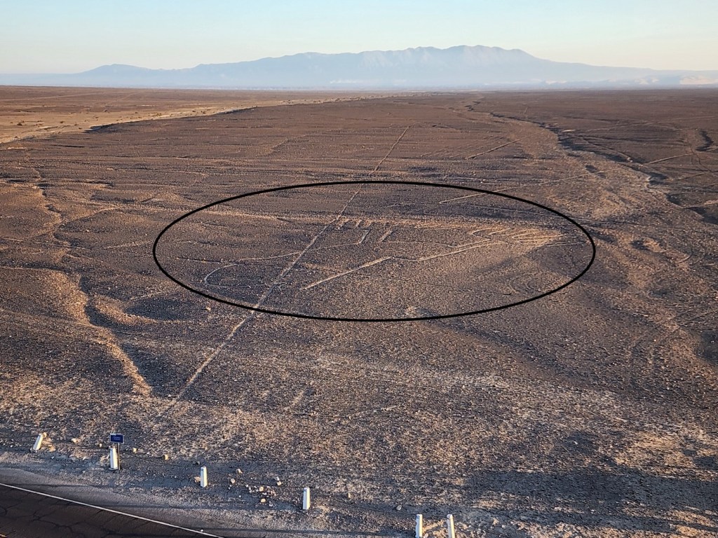
Eventually we reached the viewing tower. The fee to go up was included in our Peruhop ticket so we headed up the stairs.


Back in the 1970s there were a lot of wacky theories as to the origin of the lines, including space aliens. Although the more extreme ideas have been debunked, there is still a lot of questions as to their origin.
It was once believed that the lines were created to astronomical or astrological reasons. These days a more popular theory is they they were created as a sort of worship or ritual connected with the availability of water, which directly related to the success and productivity of crops.

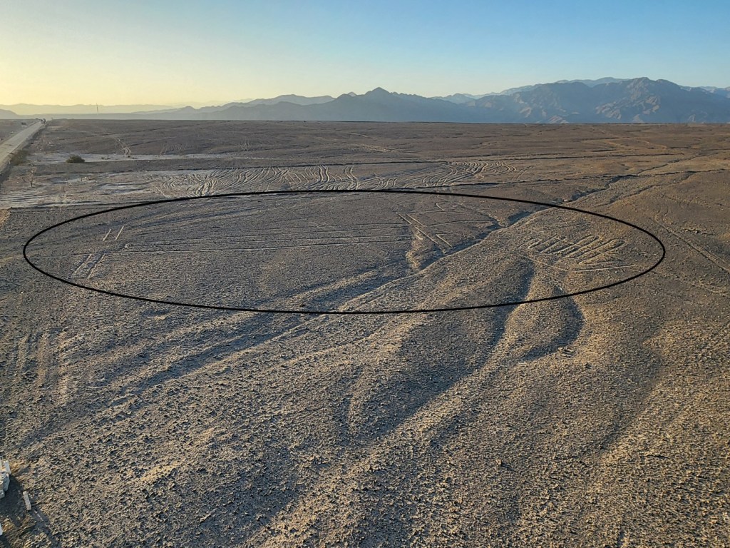
The lines were created sometime between 500 BC and 500 AD by people making depressions or shallow incisions in the desert floor, removing pebbles and leaving different-colored dirt exposed. The lines are typically 10 to 15 cm (4–6 in) deep. By removing the top layer of reddish-brown ferric oxide–coated pebbles, it reveals a yellow-grey subsoil that makes for an excellent contrast in the dry desert landscape.


The first published mention of the Nazca Lines was by the Spanish conquistador Pedro Cieza de León in 1553, when he described them as trail markers. They were not studied in depth until the early 1940s.

In the 21st century, several hundred new figures had been found with the use of drones, and archaeologists believe that there are more to be found. In 1994 the Nazca lines were declared a UNESCO World Heritage Site.
Some of the Nazca lines form shapes that are best seen from the air at least 500 m (1,600 ft) up, although they are also visible from the surrounding foothills and other high places. You can book private flights over the Nazca lines, though they are short and expensive.


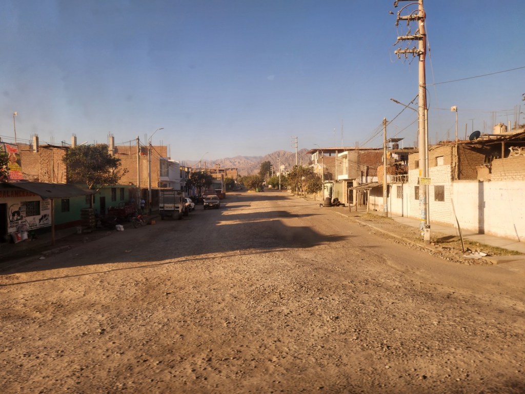
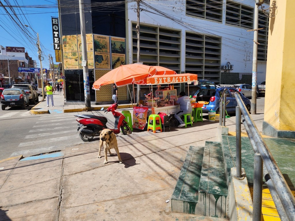
We arrived in Nazca in the evening, stayed overnight in an Air B&B and then spent a short time in the town before taking an overnight bus to Arequipa. We didn’t have much time so we just walked around and took in the sights and sounds of the town.


Maria Reiche Grosse-Neumann was a German-born Peruvian mathematician, archaeologist, and technical translator. She is known for her research into the Nazca Lines, which she first saw in 1941 together with American historian Paul Kosok.


We had a coffee and eventually made our way to the meeting point where the overnight bus would take us onward to Arequipa. It was to be a long journey, but the destination would be well worth it.

Notes:
-We used Peruhop for this leg because the bus stopped at the Nazca viewing tower, whereas regular buses would not do so. There are a number of tours (e.g., flying over Nazca, mummies in the desert) that are done out of the town of Nazca; unfortunately, we weren’t there long enough to check them out.
