

We took an early morning Uber from our hotel in Arequipa to the bus terminal, where we would take a domestic bus line (Transvela) from there to our next destination in Puno. We were supposed to have the largest long-distance bus. However, upon getting out tickets at the bus terminal, we discovered they switched it with the next size down. It wasn’t a big difference in size and comfort, but it was smaller and a bit of a letdown after using smaller similar-sized Peruhop buses so far.


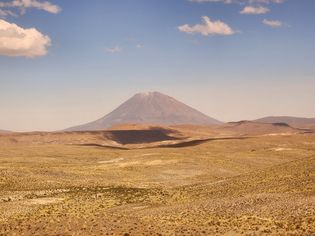
The trip from Arequipa to Puno was long and uneventful. We slowly climbed in altitude as we went further into the Andes. For most of the trip it was dry and dusty, with little to see besides huge natural vistas.


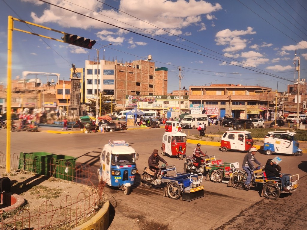
We passed a number of small towns along the way, but the bus didn’t stop until it reached Juliaca, about one hour from Puno. There was a lot of traffic in this city but we eventually left the bus terminal there and continued on to Puno.

The sun was just beginning to set as we arrived in Puno just before 6 p.m. As we entered the city, the bus started high up before making its way down towards the terminal. From there we took an Uber to our hotel downtown.

There is less than two miles of flat land between the shores of Lake Titicaca and the foothills surrounding Puno. This has caused the growing city to continue to expand upwards onto the hillsides. As a result, the town’s less developed and poorest areas, which are high on the hillsides, often have very steep streets, which are generally unpaved and cannot be accessed by automobile.
At 12,549 feet (3,826 metres) above sea level, Puno is even higher than Cusco, and would be the highest altitude for a major city during our trip. We didn’t feel anything during the bus ride to Puno, but soon after arriving in the city I felt some effects from the altitude.

We began drinking coca tea in Puno as every hotel had it free in the lobby from there until the end of our southern trip. It tasted quite good and seemed to do well to help with the effects of the high altitude. I felt it with some sinus pressure and a mild headache, but it went away after a day. Kim was fine until Cusco.
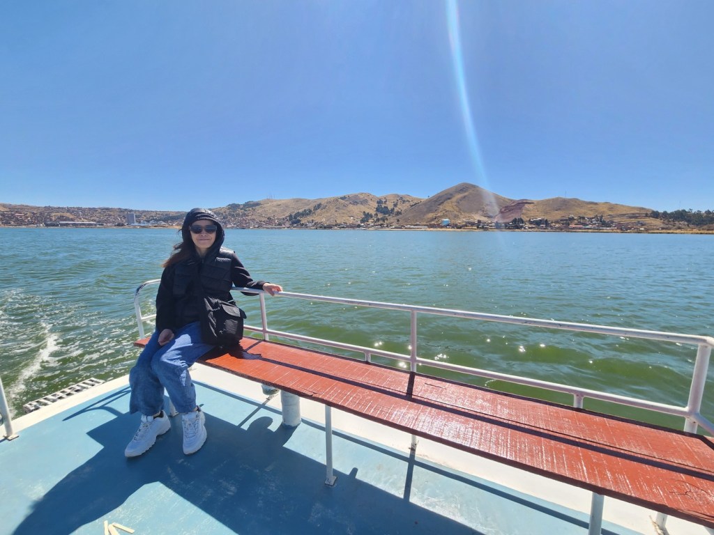
After settling in for the night at the hotel we awoke to a beautiful clear morning as we headed to our pickup point for the tour of Lake Titicaca. We were only in Puno for two nights and the highlight was the visit to the Lake. The tour was 50 soles each ($13) and included pickup and drop off close to our hotel.
The weather was beautiful once again in Southern Peru. We had no days of rain for the entire trip in late July and early August, as most days were sunny and warm.


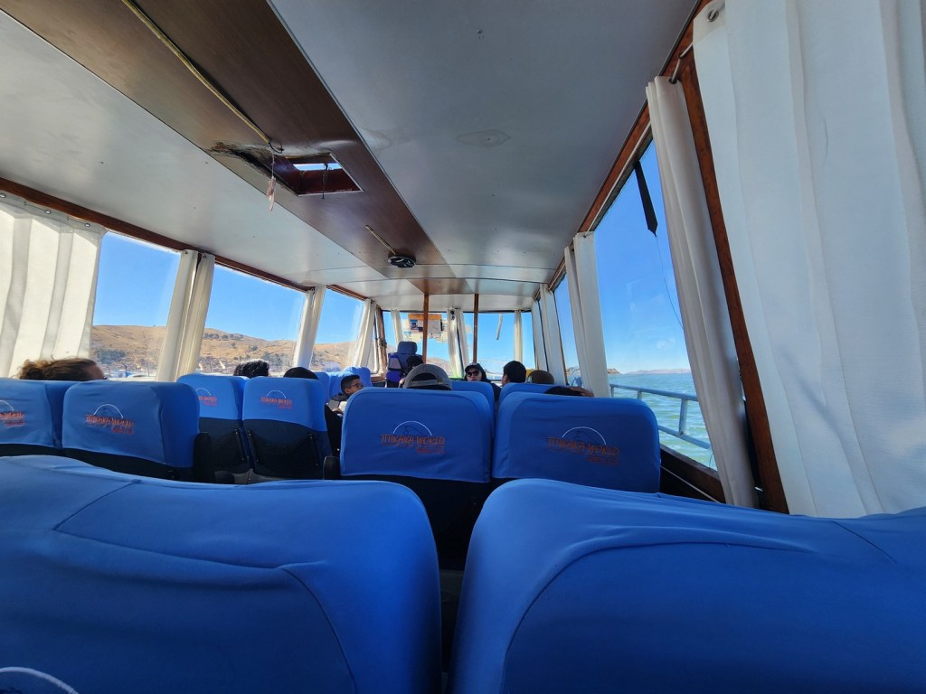
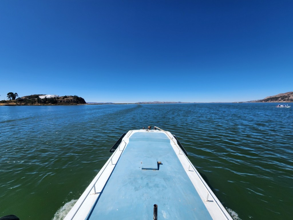
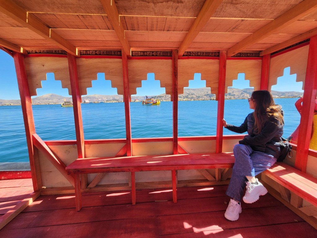
We started inside the boat but soon headed up to the top so we could enjoy the nice weather. Lake Titicaca is shared by Peru and Bolivia, but we didn’t get close to the Bolivian side of the large lake. With a surface area of 8,372 km2 (3,232 sq mi) and an elevation of 3,812 m (12,507 ft), Lake Titicaca is often called the highest navigable lake in the world (for larger water craft).
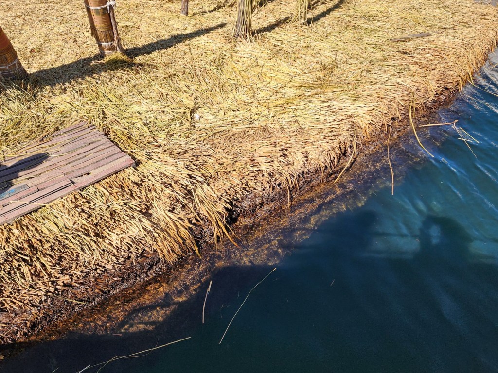
The open water gave way to shallower channels as the thick wet grasses used to construct the islands became more common. We followed a narrow channel towards an opening where the Uros Islands were to be found.


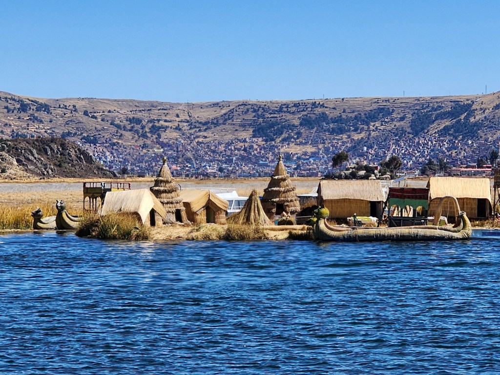
According to legend, the Uru people originated in the Amazon and migrated to the area of Lake Titicaca in the pre-Columbian era. There they were oppressed by the local population and could not get land of their own. Instead, they built the sedge islands, which could be rebuilt and moved into deep water or to different parts of the lake for greater safety from hostile neighbors on land.

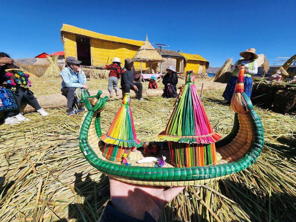
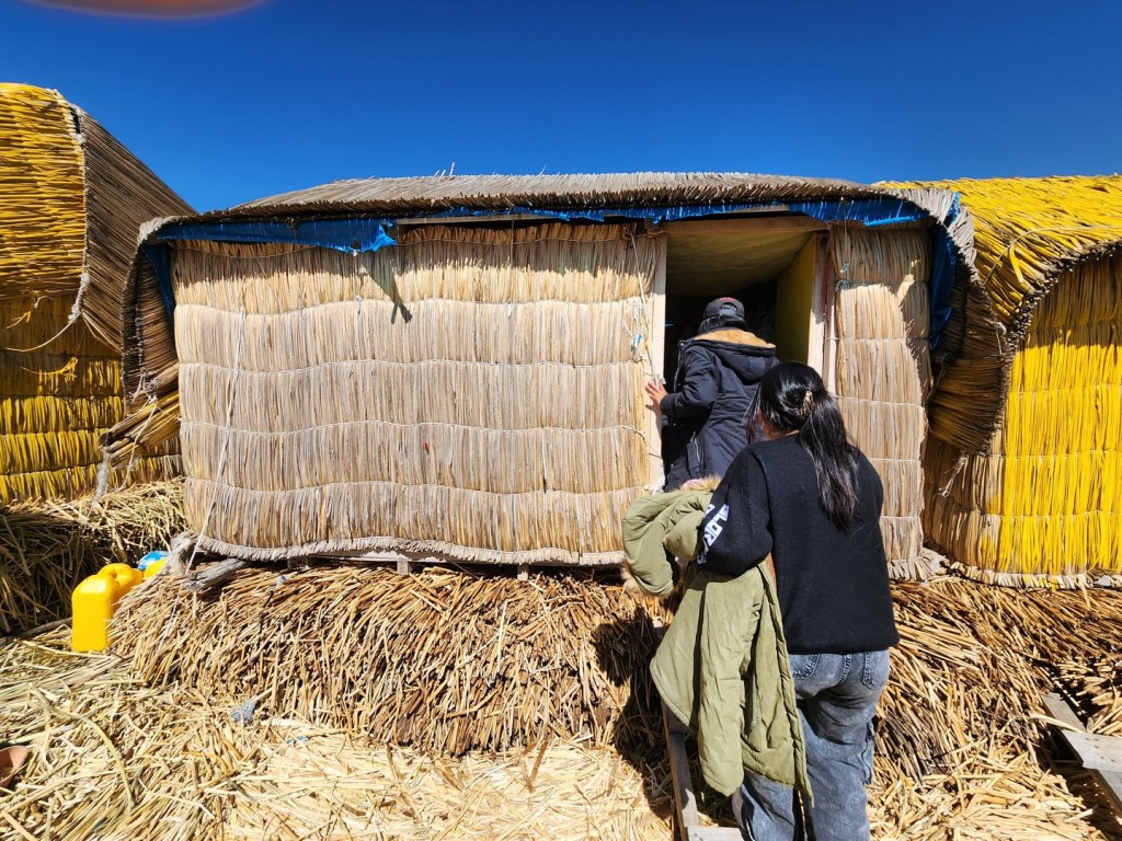
Golden in color, many of the islands measure about 15 by 15 m (50 by 50 ft), and the largest are roughly half the size of a football field. Each island contains several thatched houses, typically belonging to members of a single extended family. Some of the islands have watchtowers and other buildings, also constructed of sedges. The watch towers were used to warn of attacks from land.
According to legend, the Uru people originated in the Amazon and migrated to the area of Lake Titicaca in the pre-Columbian era, where they were oppressed by the local population and were unable to secure land of their own. They built the sedge islands, which could be moved into deep water or to different parts of the lake, as necessary, for greater safety from their hostile neighbors on land.
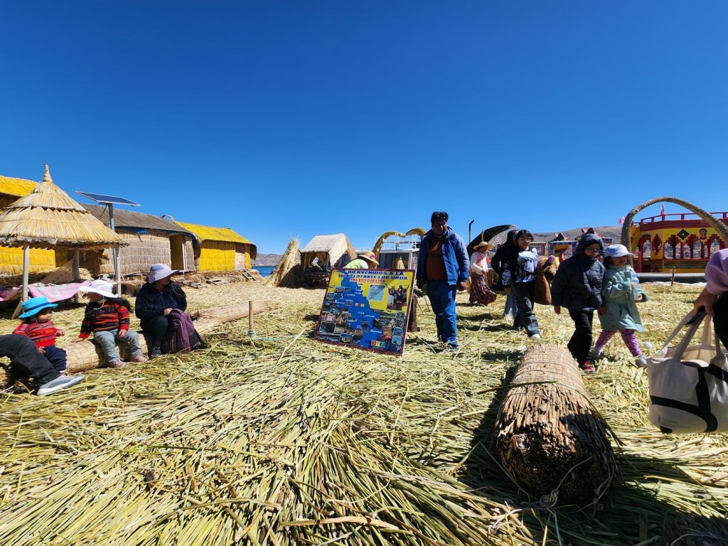
Walking on the islands was like walking on a spongy floor, as the ground beneath us was soft. But it was also strong and could clearly hold a lot of weight.

The Uru considered themselves the owners of the lake and water. According to the legend, They historically called themselves Lupihaques, “sons of the Sun”. Although the Uru language is nearly extinct, the Uru continue to maintain their identity and some old customs

The larger islands house about ten families, while smaller ones, only about thirty meters wide, house only two or three families. Each island lasts about 25 years. After 25 years, water seeps through the reeds and the inhabitants build a new island and let the old one sink to the bottom of the lake.


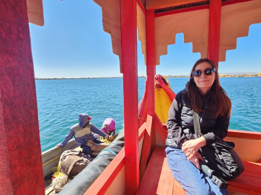
We then did an optional tour on a traditional-style water taxi to another of the floating islands. This part of the trip was 15 soles (US$4) each.

Historically, most of the Uros islands were located near the middle of the lake, about 14 km (9 mi) from the shore. After a major storm devastated the islands in 1986, many Uros rebuilt closer to shore. Around 1,000 Uros live on an archipelago of 60 artificial islands, clustering in the western corner of the lake near Puno. Over time the islands have become a tourist attraction, allowing the Uros to supplement their hunting and fishing by bringing visitors to the islands by motorboat for tours and selling handicrafts
As of 2011, about 1,200 Uros lived on an archipelago of 60 artificial islands, clustering in the western corner of the lake near Puno. Although their numbers are shrinking, there has been a strong effort to keep the traditions alive on the islands.
After another short stop on another of the floating islands, we started to head back the way we had come. Although it wasn’t too hot, the direct sun at high altitude felt strong after a few hours on the lake.


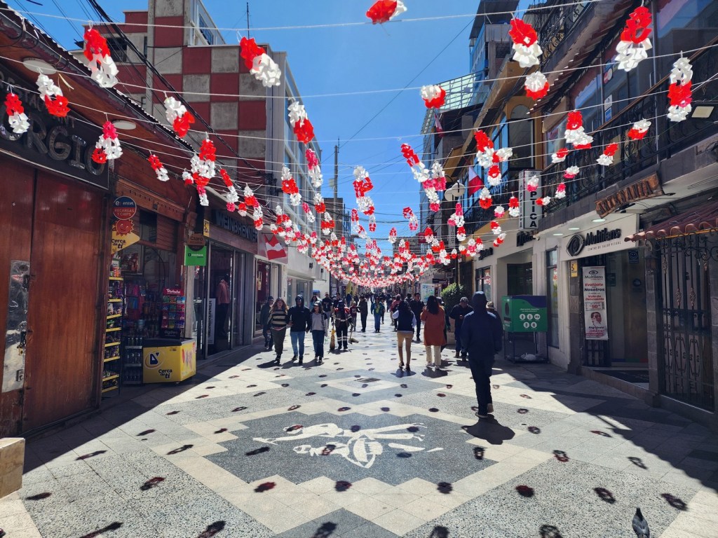
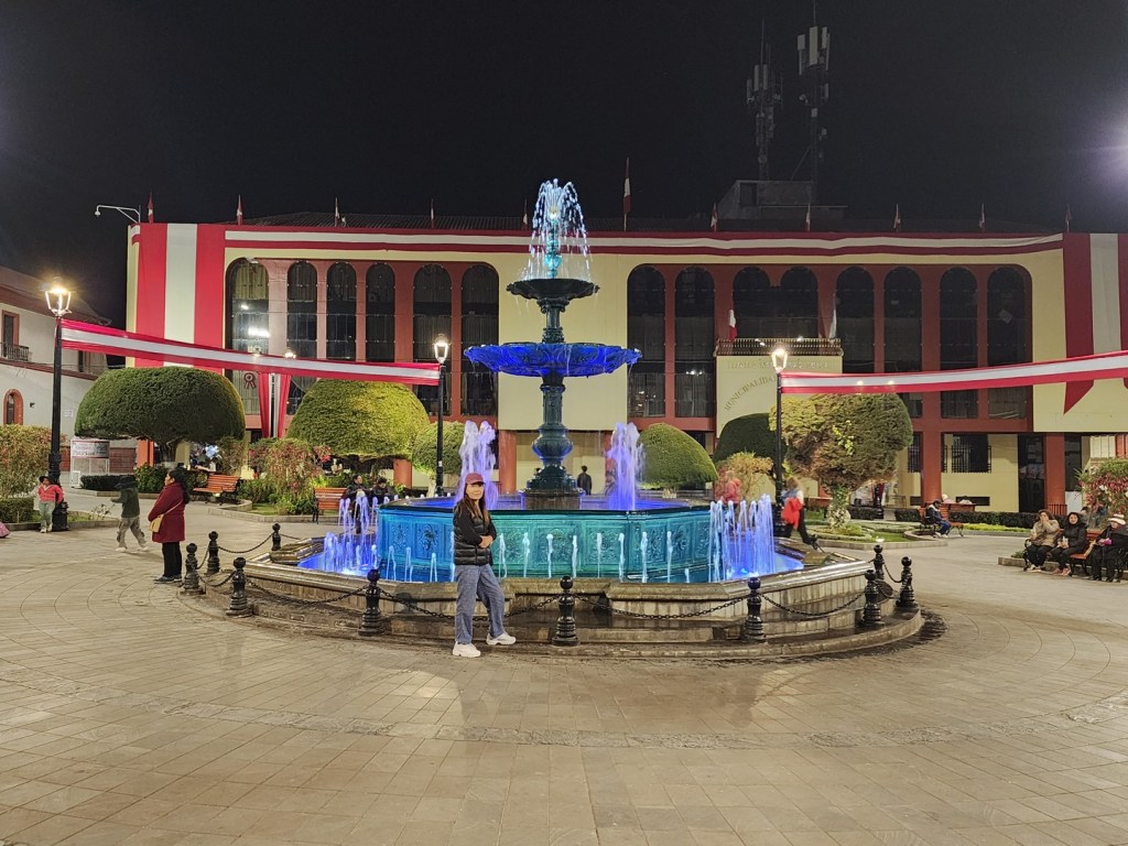
The downtown area had a lot of life in the evening, and was nice to walk around. We had dinner both nights on the main pedestrian walking area close to our hotel. At night it could get cold at higher elevations and we particularity felt it in Puno. Here we had to wear and extra layer or two.

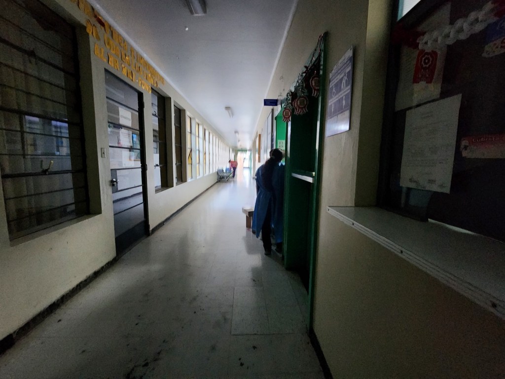
Unfortunately Kim hurt her toe just after we returned from the tour and had to go to the hospital to get it checked. To complicate things, it happened on Air Force Day and all the clinics were closed. We had to go to the local hospital to get it checked, so we and made our way there from the hotel. When we arrived the place was very dark and mostly quiet, but the staff were very helpful in spite of the language barrier and immediately tried to help us. One of the assistant doctors spoke good English and assisted with the interpretation for the main doctor.

Kim was there for about two hours. A doctor checked it, they took x-rays and she was given a painkiller and antibiotics. Fortunately the x-ray came back negative, and she was able to quickly recover back to regular walking and climbing speed. The cost for everything was just 74 soles (US$20). Overall we were very happy with the service at the hospital and relieved she was okay just before our trip to Machu Picchu.

Although it was a short trip we really appreciated seeing a vanishing way of life on Lake Titicaca. The trip to Puno was a bit out of the way, but very worthwhile. From here we were going to take a bus to Cusco in which the bus ride itself would have some interesting sights along the way.
