

A few years ago we drove from Ontario out to the East coast of Canada, going through Quebec, New Brunswick, Prince Edward Island and Nova Scotia. One of the highlights of the trip was the time we spent on Cape Breton Island, a rugged and beautiful place that encompasses the Northern section of Nova Scotia.


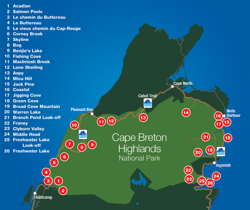
We went around the island with some of the highlights circled above. We went north along the coastal road to Mabou, then cut across the middle of the island to stay a night in Baddeck. From there we went to Louisbourg before going back to spend a couple nights in Sydney. After staying in Ingonish we went north to briefly touch the top of the island at Meat Cove. Then we did the western side of the island going down to Cheticamp, staying there a few days before continuing south back to the mainland.

We started the trip going up from Port Hawkesbury to Mabou, where we checked out the local beaches. From there we moved across the middle of the island where we stopped at the Alexander Graham Bell National Historical Site. I never knew about it before we made our trip out east, but it was well worth the visit. The museum housed many items from his experiments, including the largest repository of artifacts and documents from Bell’s years of experimental work in nearby Baddeck, Nova Scotia. We found the original examples of his work on record-breaking hydrofoils to be particularity interesting.
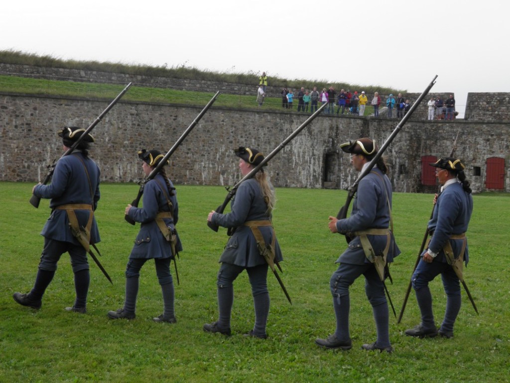
Continuing to the eastern edge of the island, the Fortress of Louisbourg is a national historical site in Canada. The site has a reconstructed town that takes up one-quarter of the original settlement on the edge of the Atlantic Ocean. Back in the 1960s and 70s, local unemployed coal miners helped reconstruct the 18th century settlement.

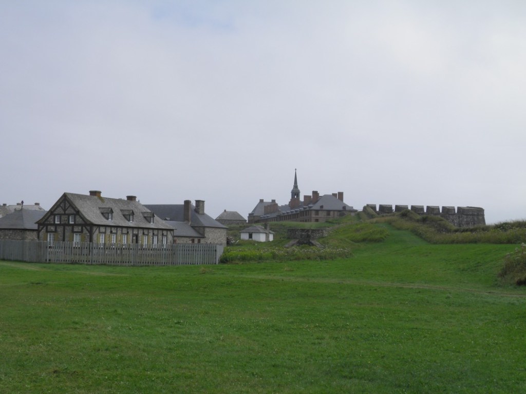


Although the fort was well prepared for an attack from the sea, its huge weakness was being situated on on low-lying land, allowing for a land invasion from behind. It was captured in 1745 by British colonists before being returned to the French. It was captured and occupied again in 1758 during the Seven Years’ War, with the fortifications removed over time. The loss of Louisbourg was a significant event during the war, and played a large role in the eventual British domination over North America by the latter half of the century.
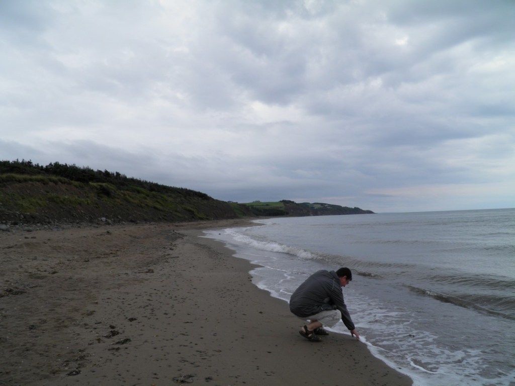
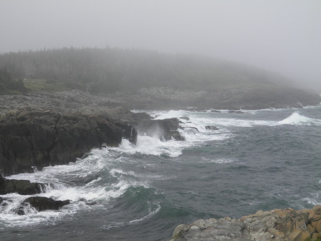
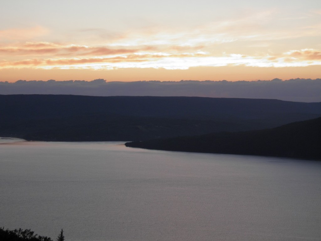
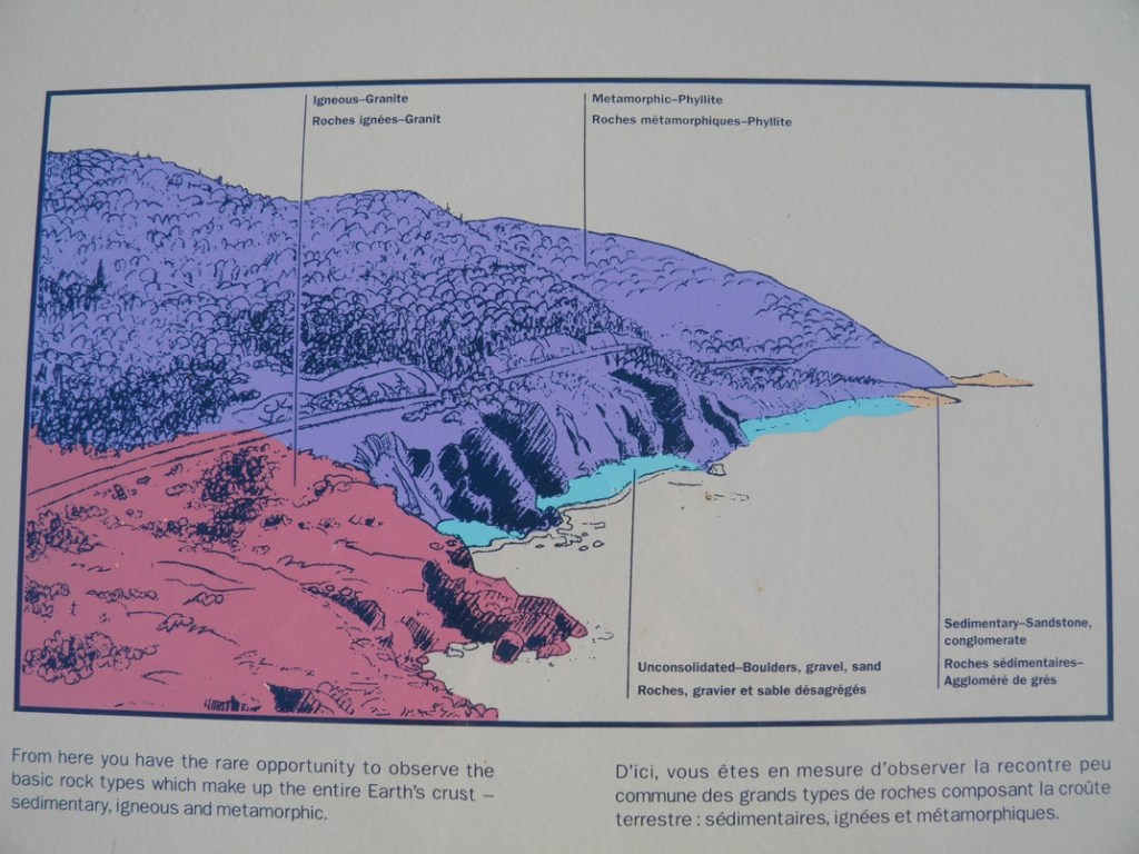
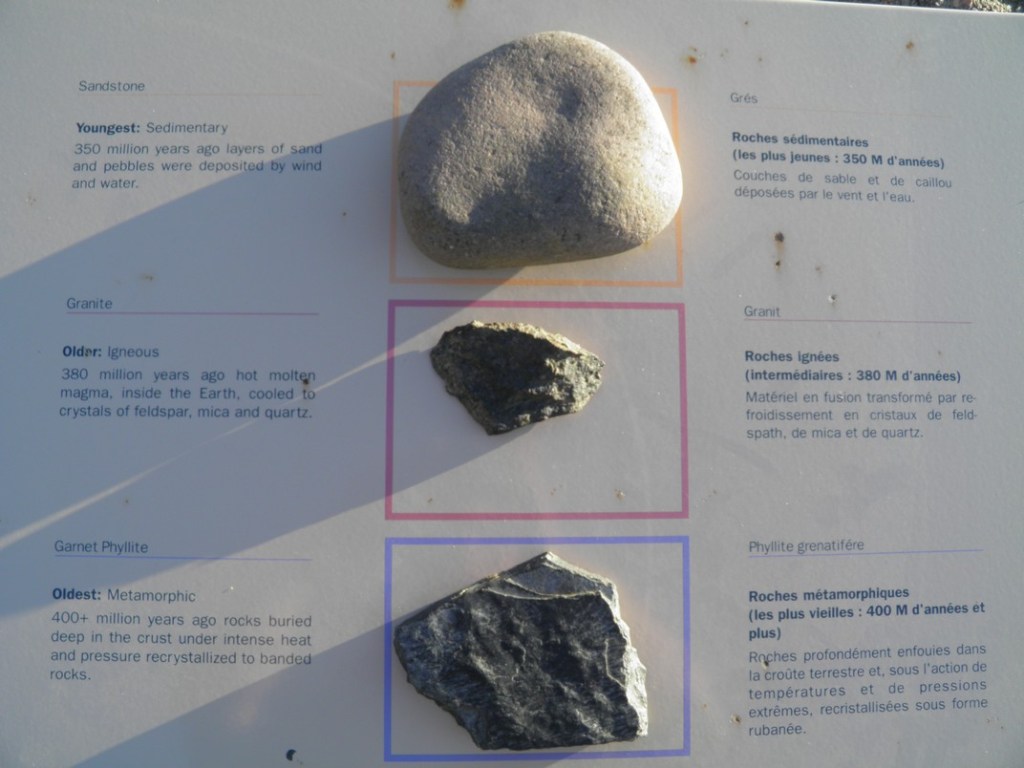
After visiting Louisbourg we did some of nearby walking trails. Weather conditions are very changeable here and as we walked the trails it changed from pleasant to foggy, windy and gloomy. It made for some nice dramatic shots of the angry ocean, though we had to be careful not to get too close to the edge as the wind and the ocean spray hit us.

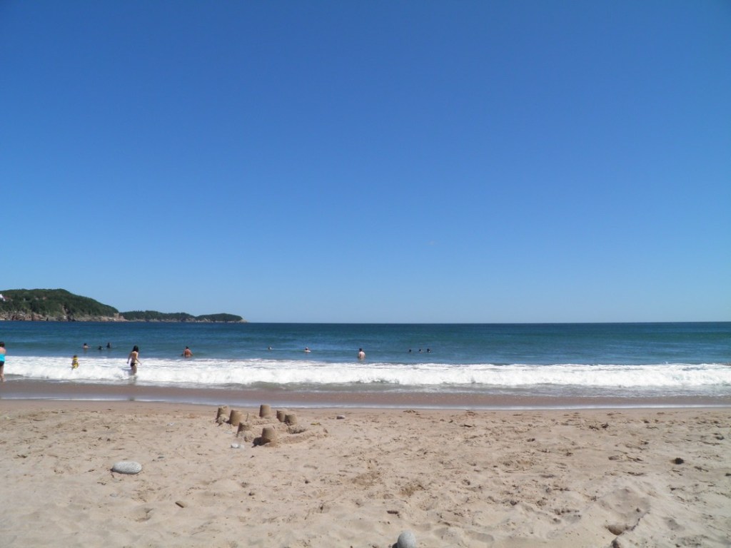
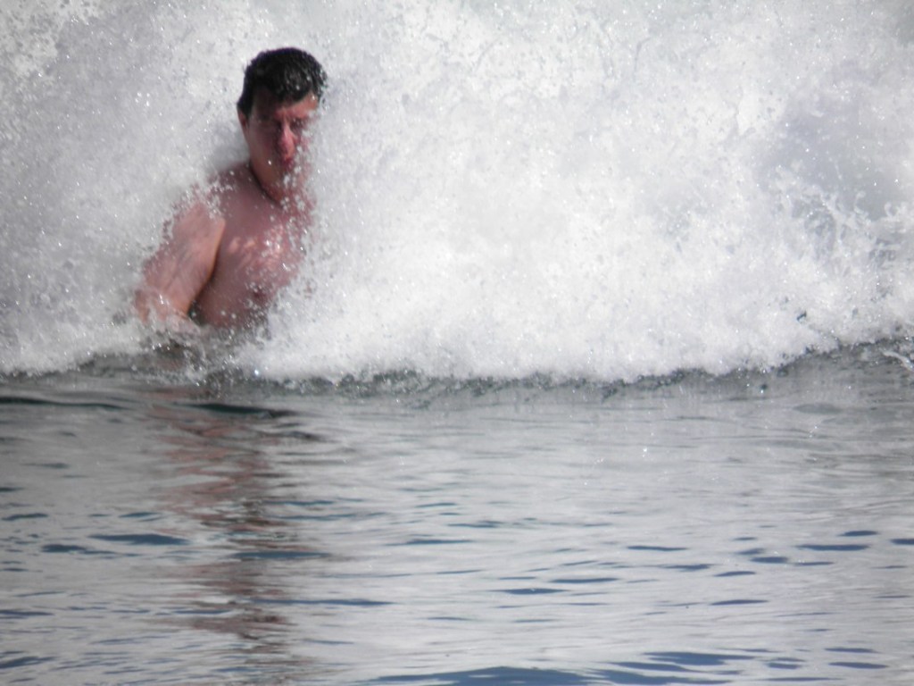
Going north from Louisbourg we stayed in the town of Ingonish, giving us an opportunity to go swimming in the Atlantic.
Ingonish is located just within Cape Breton Highlands National Park, though most of the park is north and west of the town. From there we followed the Cabot Trail Road north along the ocean. It takes about five hours to do the entire Cabot Trail drive, though we added a few hours more to it by going north to reach Meat Cove at the top of the province. Because time was short we weren’t able to do any of the trails at Meat Cove.
As we made our way north along the scenic coastal road we did stop-offs along the way, including Lakies Head and Neil’s Harbour.
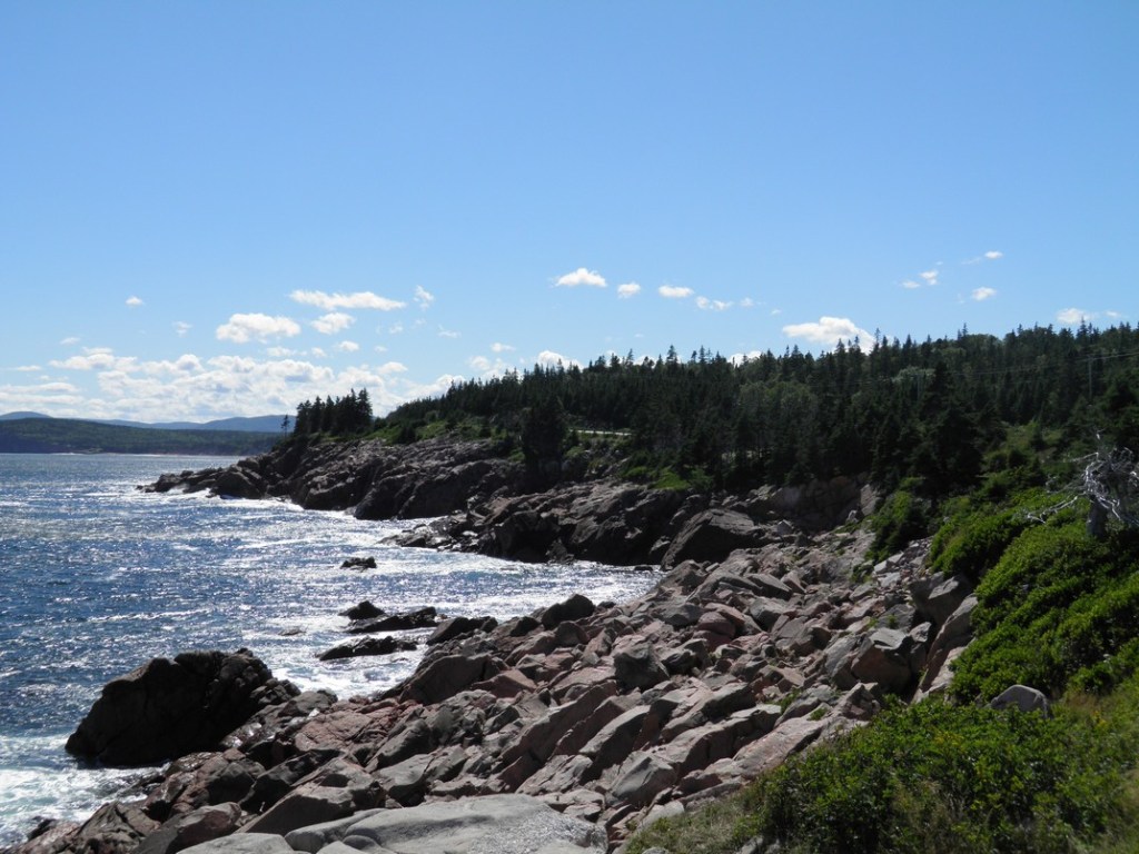


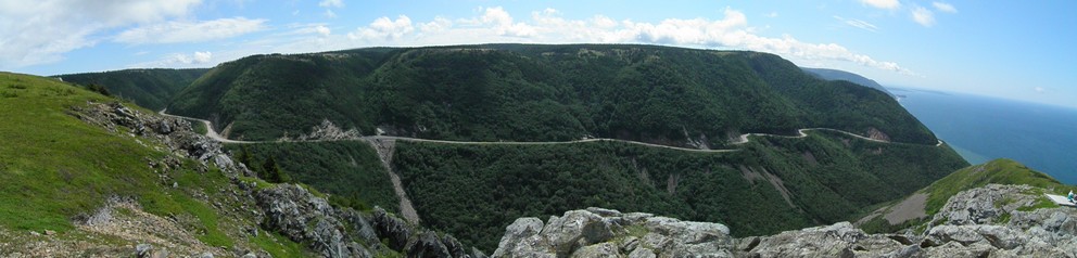
As we continued north on the Cabot Trail, the views were stunning. The road hugs the coast with many lookout points along the way.


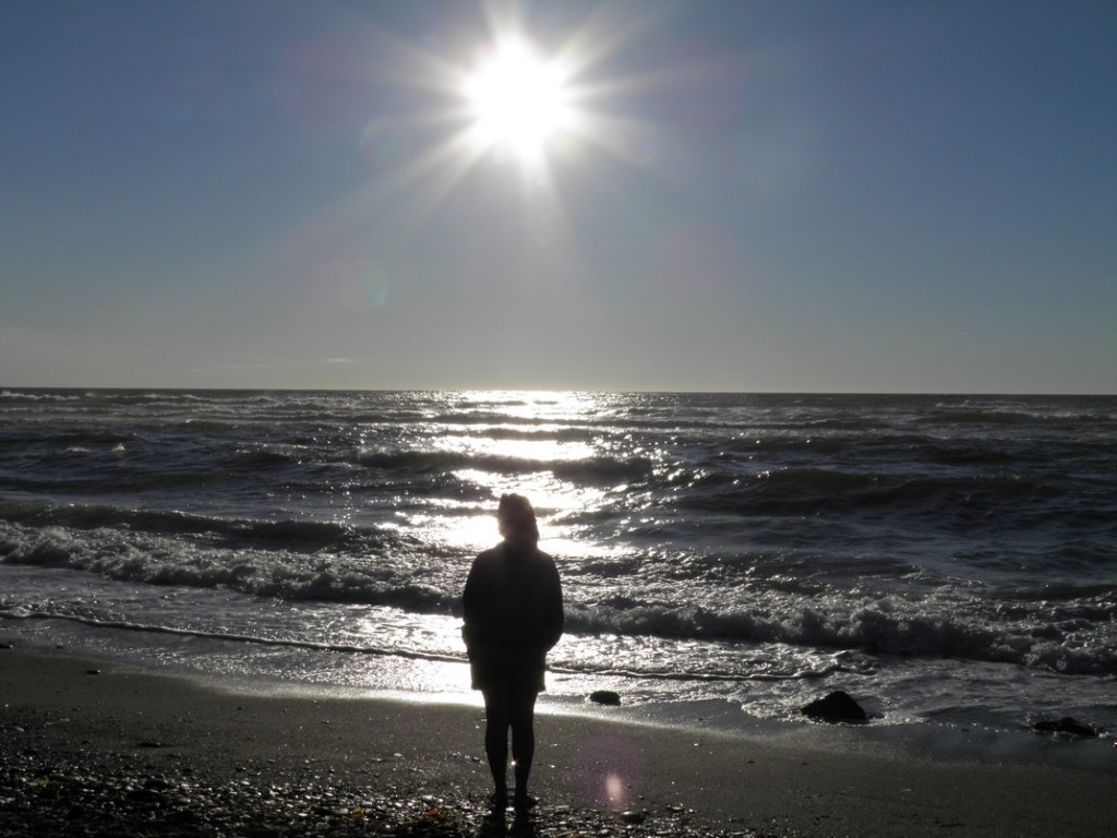
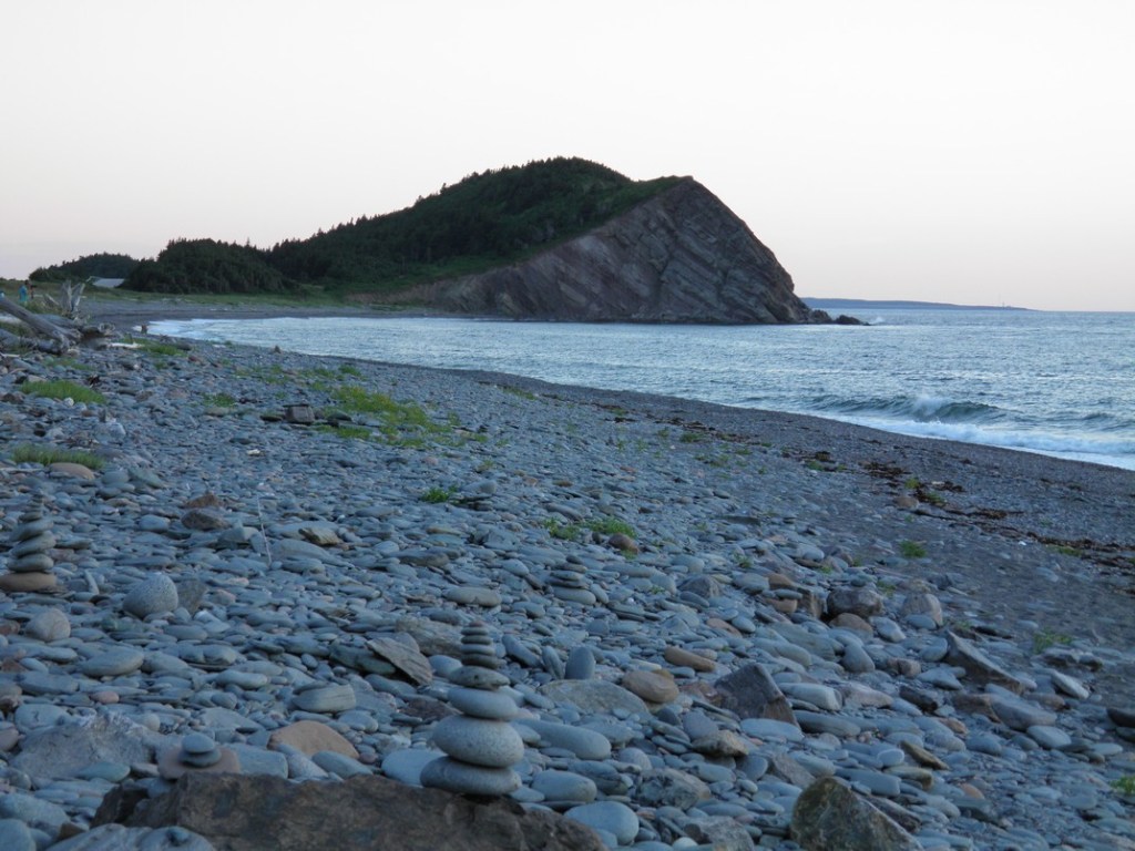
On the way to the northern tip of the province we saw a marked stop-off at the side of the road. There wasn’t anything notable close by but we decided to check it out. The trail led into a forest that quickly gave way to a huge open space of sand and grassland. It took awhile to walk through but we eventually reached a beach that was beautiful and almost entirely empty.

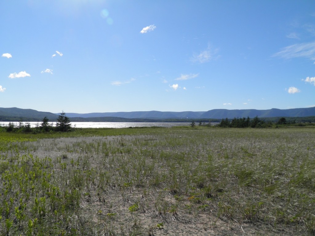
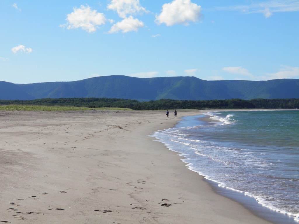
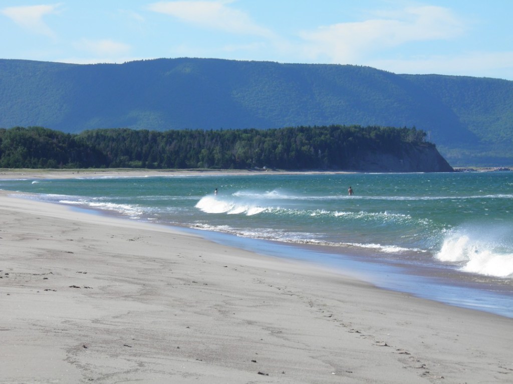

We enjoyed the peace and quiet of the spot along with just a few other people further down the beach. Even after Google searching and a check of local maps, I haven’t been able to find the name of the spot. If we make a return trip to Cape Breton I really hope we can find it again.
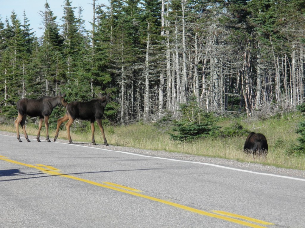
There are lots of moose on Cape Breton Island, and they are impressive up close. While generally not aggressive outside of mating season, tourists are advised not to get too close as they can charge.

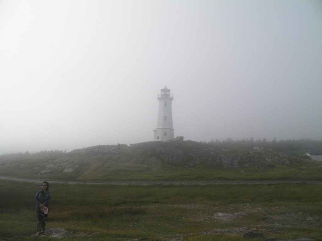
North of Cape Breton Provincial Park there is a smaller Buddhist monastery located on the coast. Founded in 1983, Gampo Abbey has been following the Shambala tradition of Tibetan Buddhism. It was a bit of a drive on a rough road to reach it, but the place was peaceful and had great backdrops to the ocean. Surrounded by forests and the ocean, we could tell it was a place where peace and contemplation would be easier to achieve compared with a city location. We took a tour of the buildings and walked around some of the trails surrounding the monastery.


On the way down the western side of the Cabot Trail we visited some of the other lookouts such as Le Vieux Chemin du Cap-Rouge in the photos below.


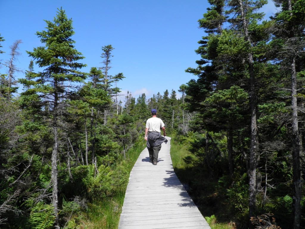
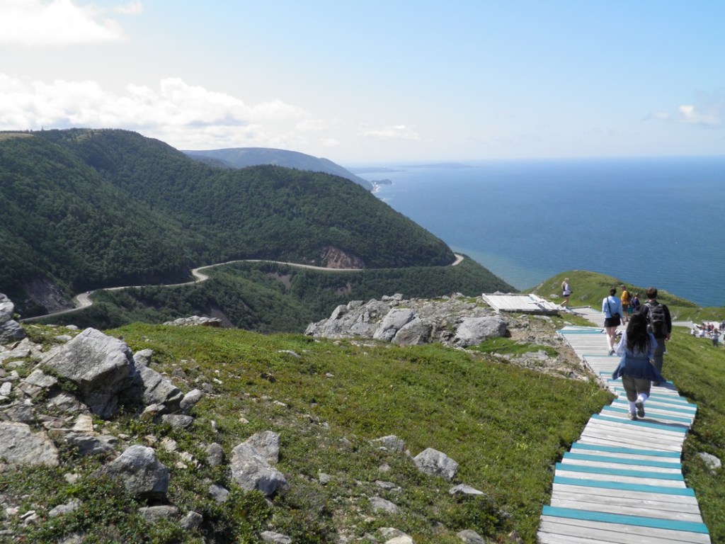
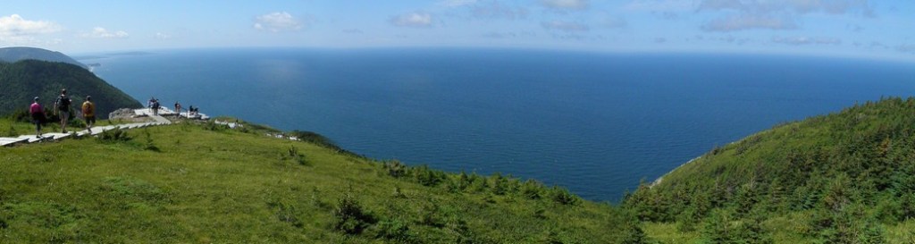
One of the best trails in Cape Breton National Park is the Skyline Trail. This trail is on the western side of the park and takes around 2 hours to complete. From the parking lot the route follows a boardwalk through forests and low scrub before opening up to fantastic views of the ocean. Of the numerous trails we did this was our favourite.

We visited Cape Breton island in August during the tourist season, but it wasn’t overcrowded or difficult to navigate. The Cabot Trail and its scenic road was one of the highlights, as was Cape Breton Highlands National Park.