

Just north of Canakkale is the Dardenelles strait, a strategic entry into Turkey from ancient times. Directly above the strait is the Gallpoli Peninsula. A quiet and scenic place, it was once the site of some of the fiercest fighting in World War I. The ill-fated Gallipoli campaign sent almost 500,000 allied troops to fight the Ottoman Empire on the northwestern edge of Turkey. I got to know of the place after seeing a young Mel Gibson in the dramatic version of Gallipoli in a theatre when I was just a kid.
However, at the time I didn’t appreciate the scale of it. The British army suffered the majority of the casualties on the allied side; however, it was the Australians, New Zealanders and Turks alike who would attach immense importance to the heroics and futility of the campaign as part of their growing national consciousness. During our stay in Canakkale we took a day trip over the strait to visit the battlefields of the past.
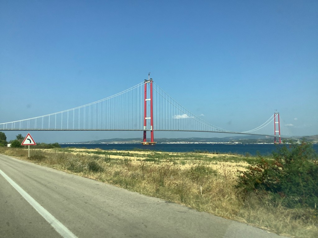
There are two ways of getting there, by ferry or across the new suspension bridge. We chose the bridge route for convenience and a unique experience. Completed in 2022, the 1915 Çanakkale Bridge is the longest suspension bridge in the world. It is located about 30 minutes from Canakkale using an easy highway route.
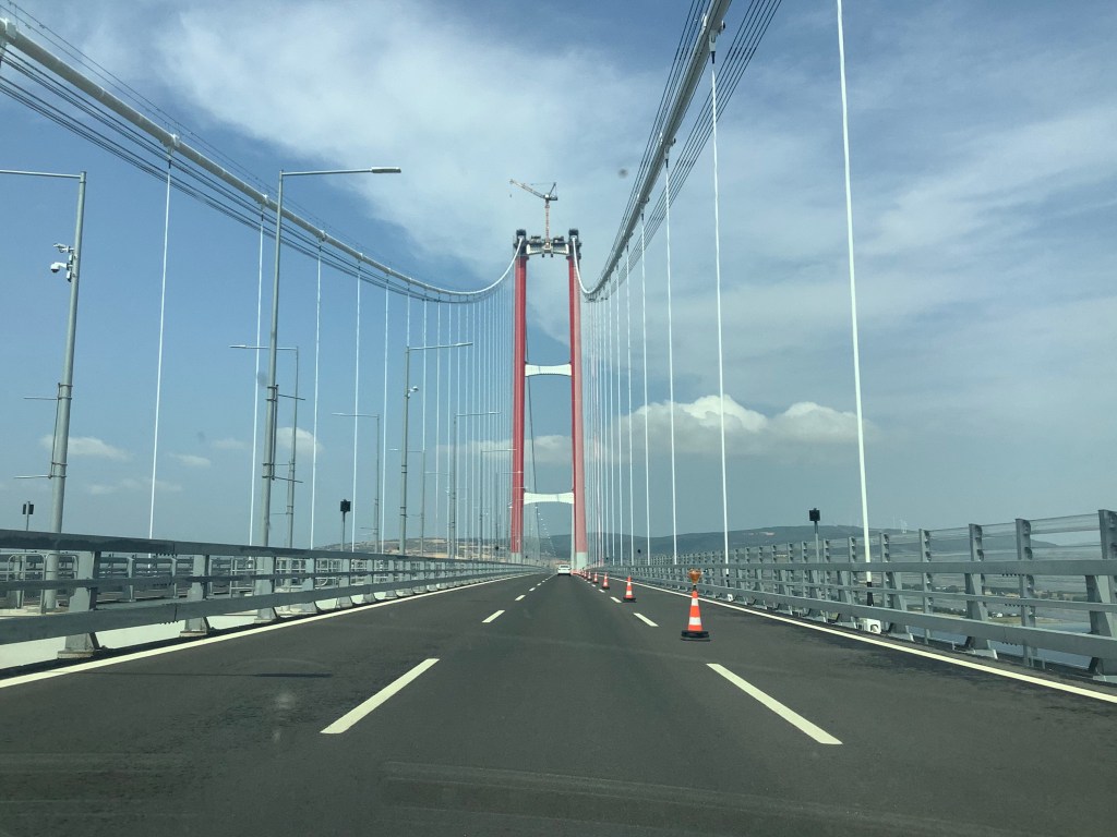
The bridge was virtually empty when we crossed, possibly owing to the $20 it cost to get across (we prepaid at the rental agency back in Kusadasi). We were across quickly and made our way back towards the end of the peninsula.
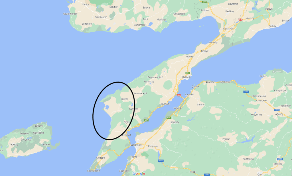
Even after we were across the bridge and onto the Dardanelles peninsula, things remained very quiet on the roads. We passed few cars as we drove onward. There were a few confusing spots using Google Maps and there is construction in some areas, but overall the drive was pleasant and easy. We a passed a few towns located within the peninsula, and ended up getting lunch at one.
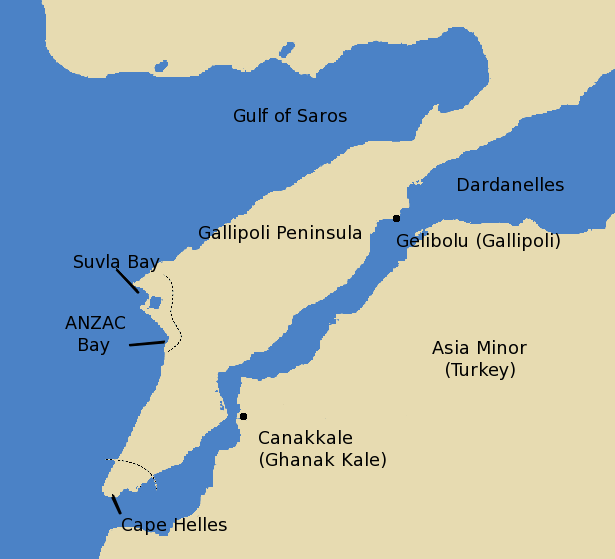
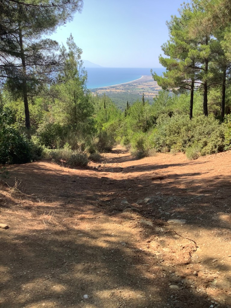
The first part of the trip was spent along the western coastline near Suvla Bay and ANZAC cove. After cutting across the middle of the peninsula we travelled along the western coastline up towards Suvla Bay.
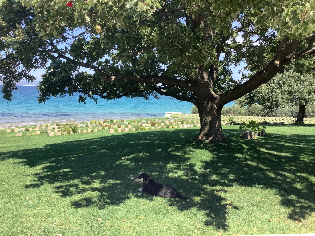
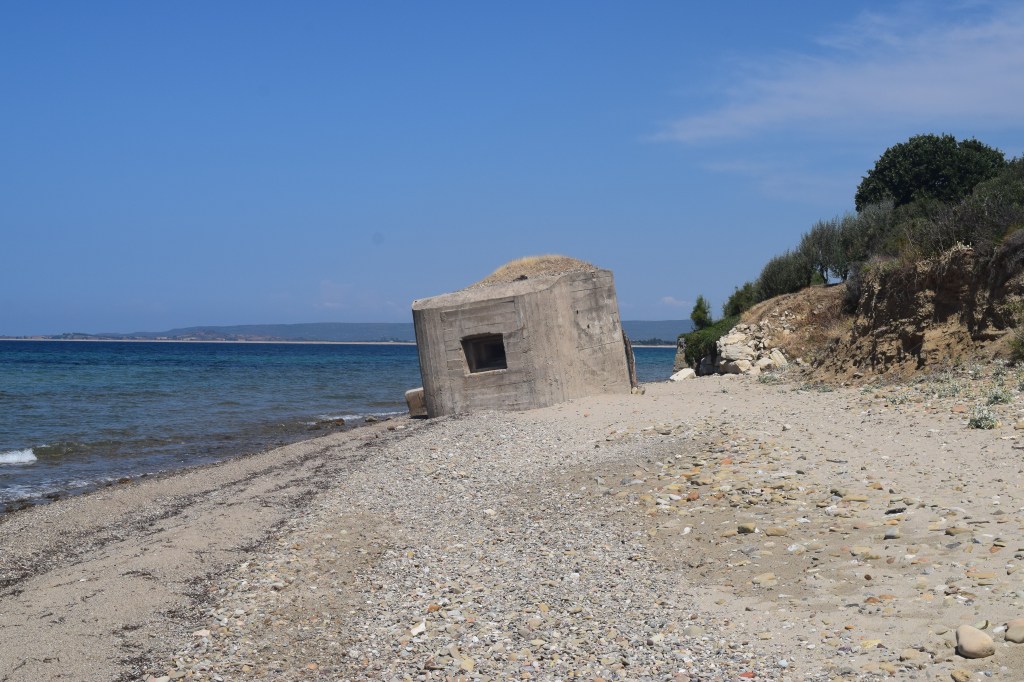
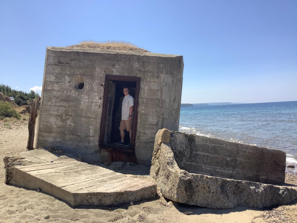
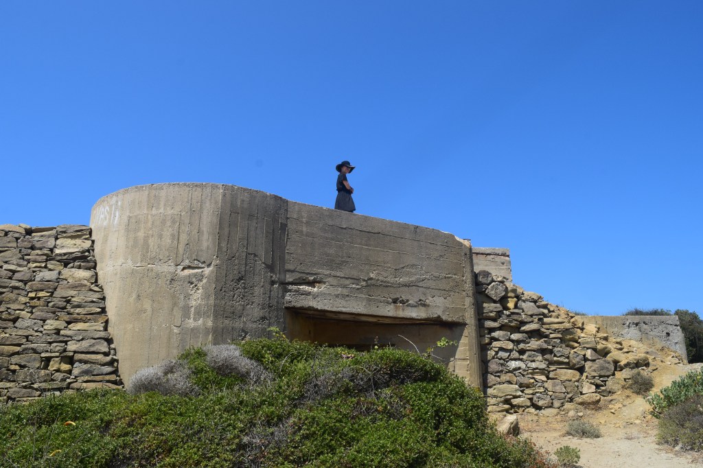
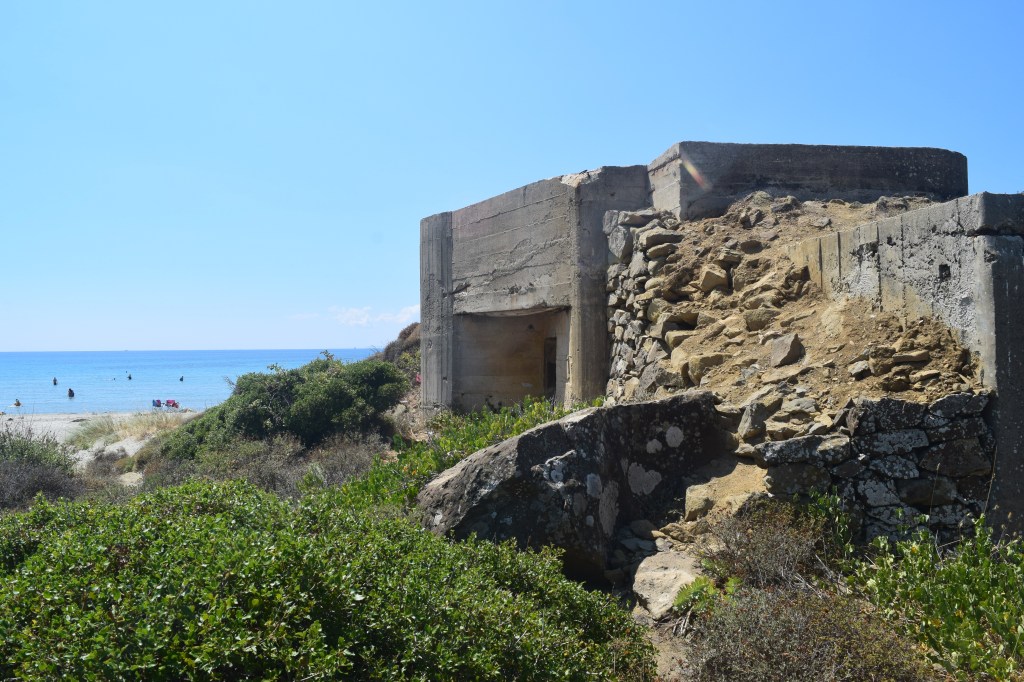
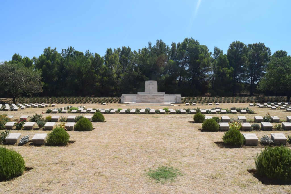
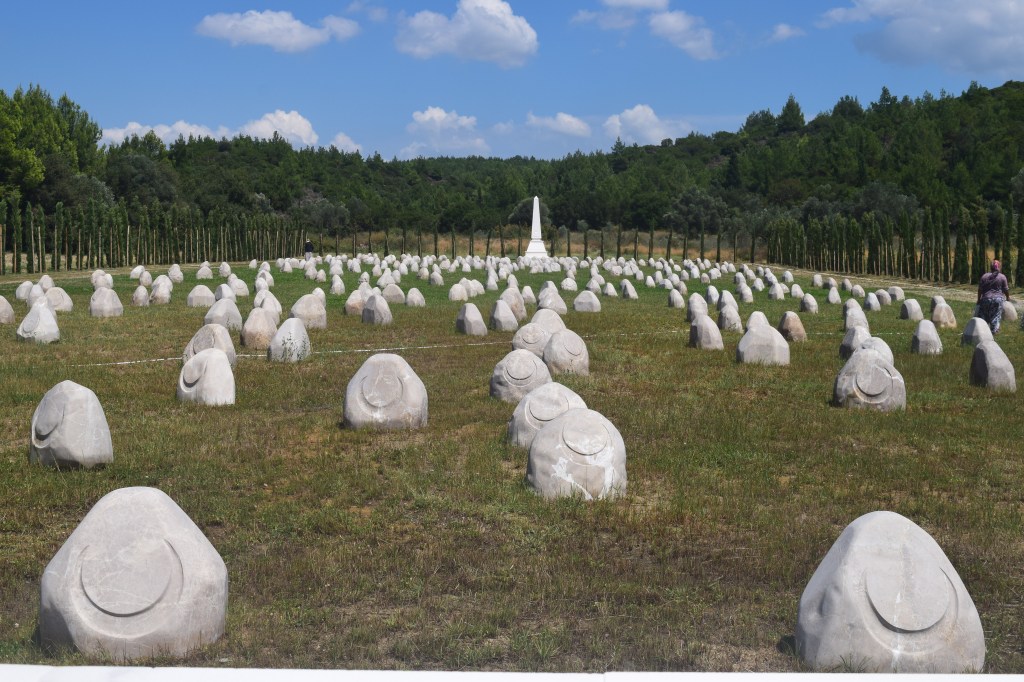
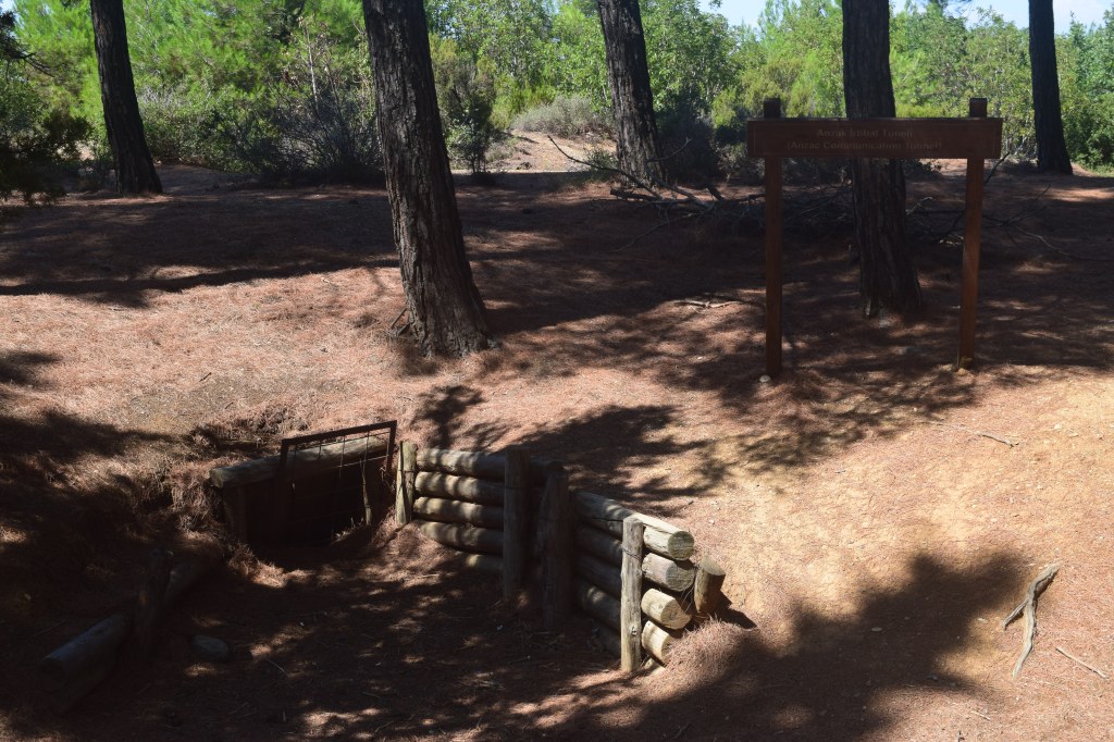
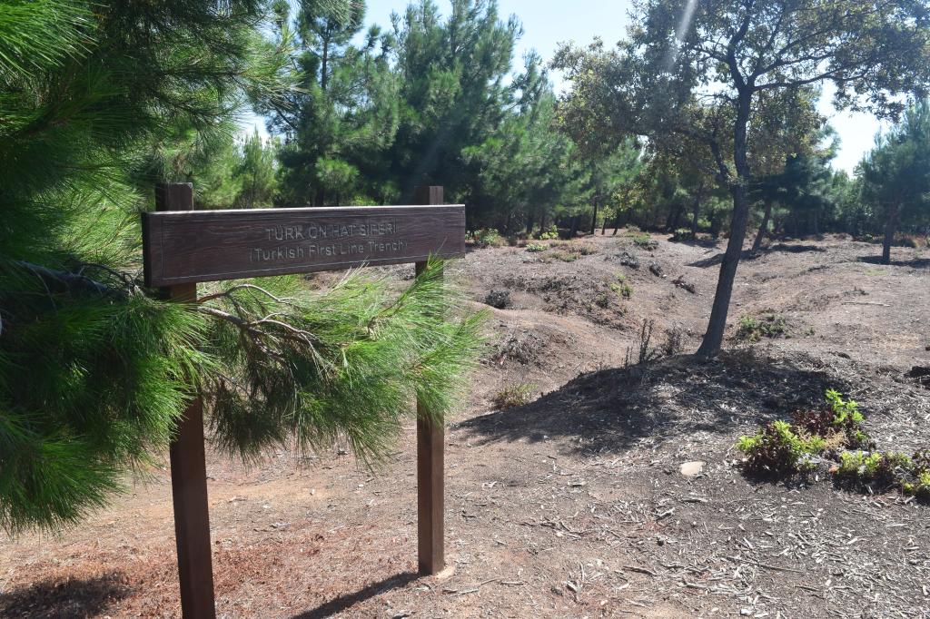
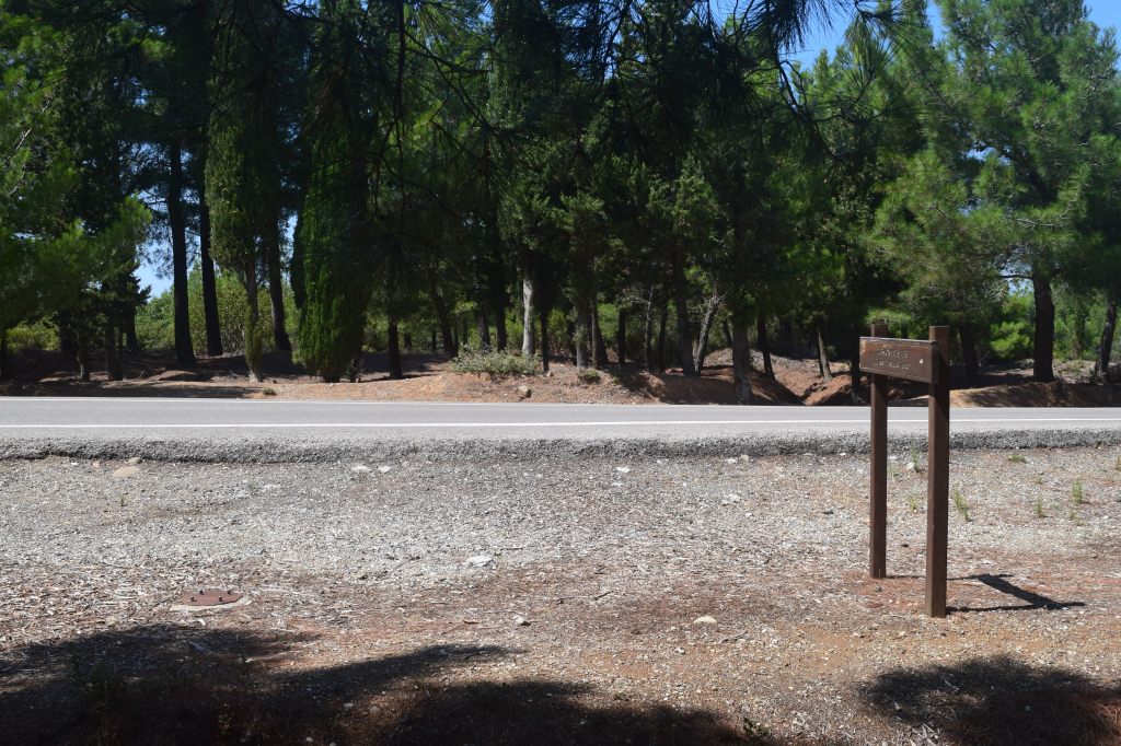
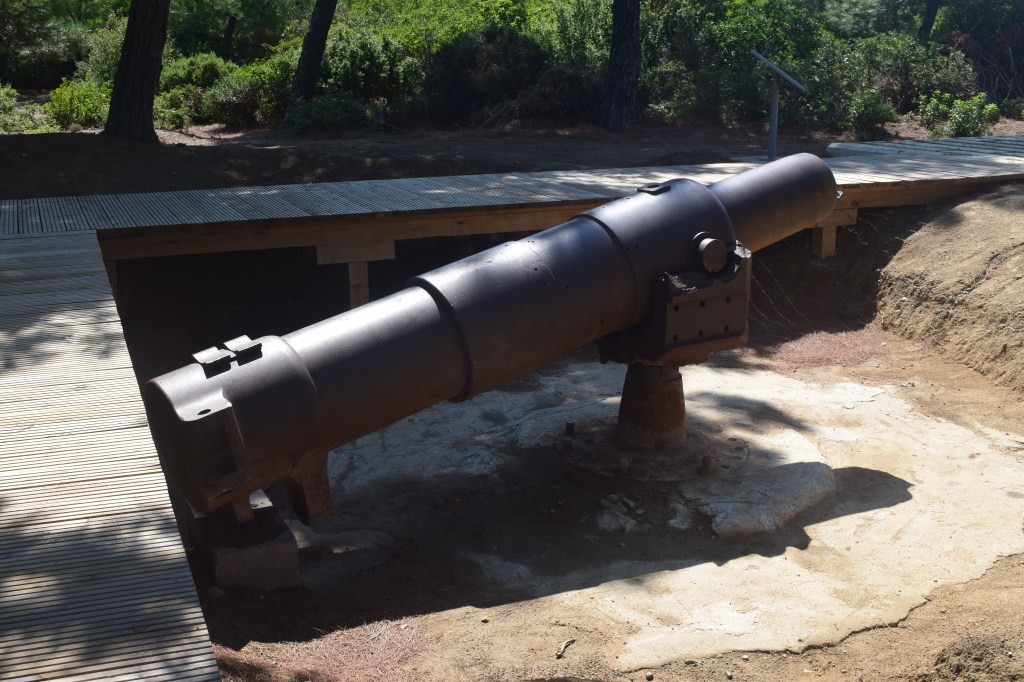
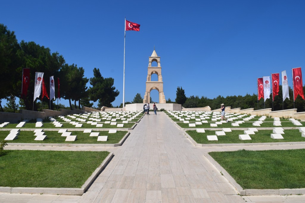
There were a number of cemeteries close to the coastal road, as well as the remains of Ottoman pillboxes that were the first line of defence when the landings began. .
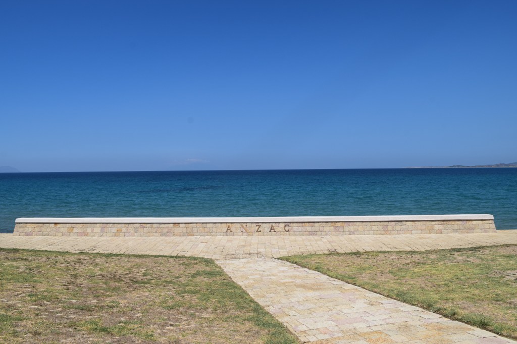
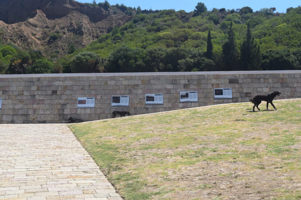
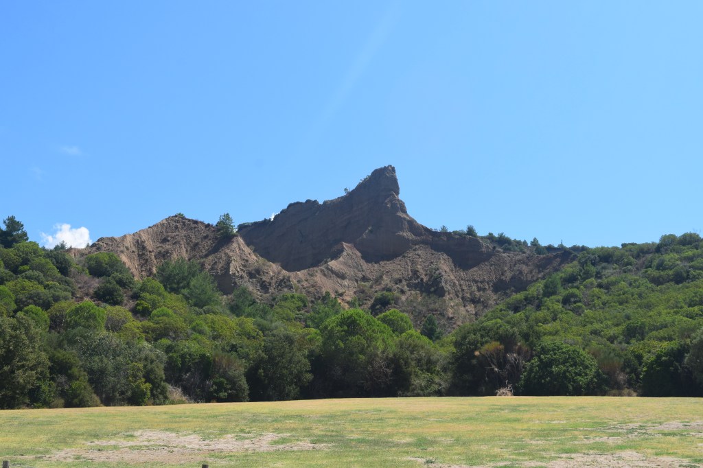
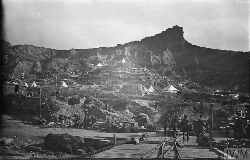
Looming above ANZAC Cove was a distinctive rocky formation called “The Sphinx” by the Australians because they they trained near the original in Egypt. It was at the base of this formation where the main Australian camp was located. From there the destination for the ANZACS was the top of the cliffs, where things became much more difficult.
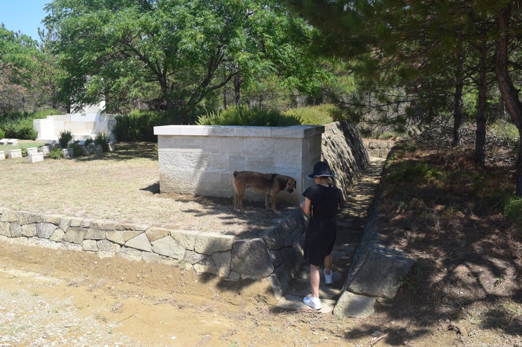
Many of the coastal cemeteries had dogs around. Most looked well fed and comfortable, and were very quiet. It almost felt like they were a natural part of the place, and were guardians for the graves. Everything was well maintained, and there was signage for the many cemeteries. We didn’t visit them all as time was limited and some were located deeper into the bush or hillside.
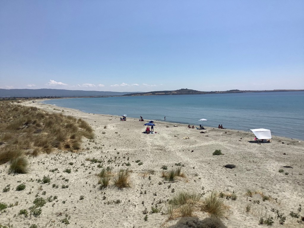
We eventually made it to Suvla Bay, which appeared relatively quiet in mid-summer. There was another destroyed bunker here; just a short distance away people were lying under parasols and enjoying the water.
From Suvla we continued a bit further north to check out a few more cemeteries. These were further inland and we made a couple wrong turns before finding them, but eventually found our way there.
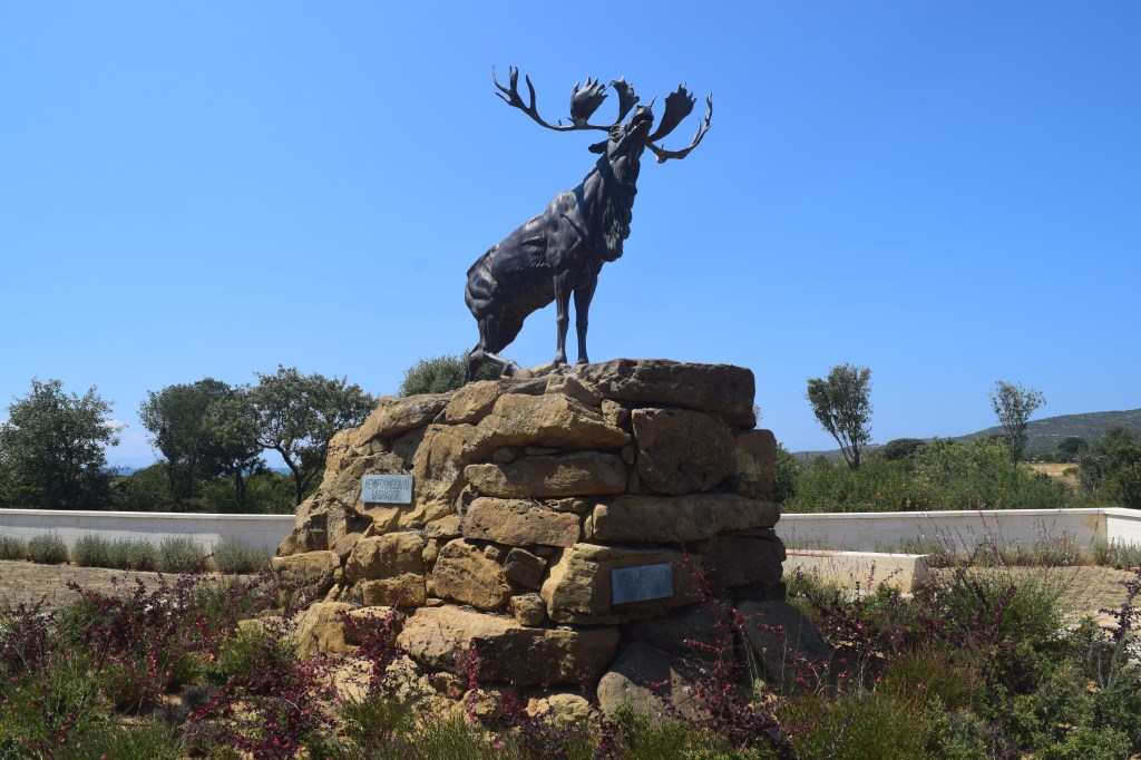
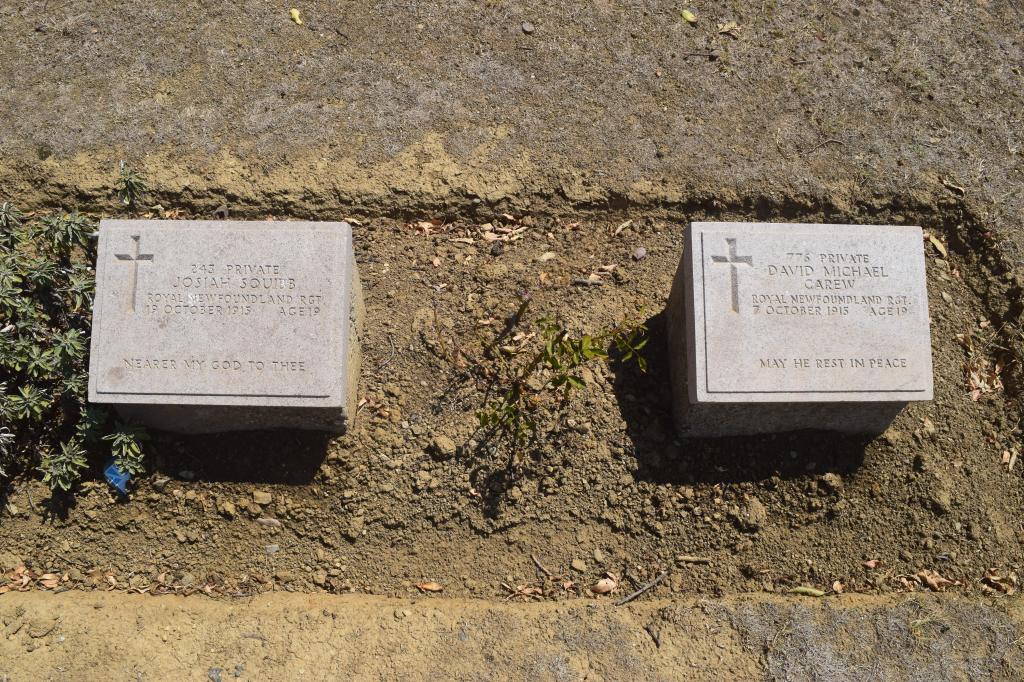
Only one Canadian unit was involved in the Gallipoli campaign, the Royal Newfoundland Regiment. We found their striking memorial at the Hill 10 cemetery where some of the members of the regiment were buried.
Curiously enough, this was the only place in our entire trip where our car engine stopped working and wouldn’t start for awhile. Kim joked that the soldiers didn’t want us to leave too quickly, though she admitted this might have been influenced by horror movies she’s seen. We were in an isolated location and there was no one else around except a stray dog, so it did feel a bit strange. After many attempts we finally got the engine started and headed off again.
After doing the coastal road near Suvla Bay, we circled back to do the loop road that overlooked the landing spots and involved some of the fiercest fighting as the allies made their way up the hills. You can do the loop in an hour, though we took more than double that time because we took our time at the many sights along the way.
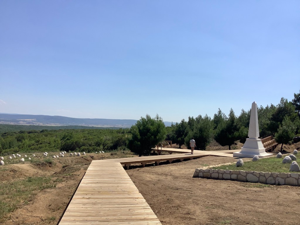
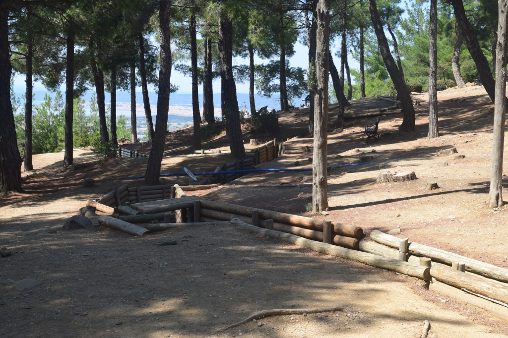
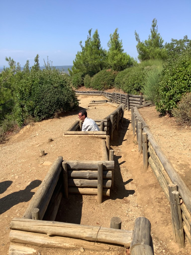
At the top of the hill was a unique spot. The road intersected the front lines of both sides, making it was clear how close the two sides were to each other during the intense fighting.
We continued along the loop road, passing various Ottoman and ANZAC memorials and cemeteries. This route was busier than anywhere else on the peninsula, and included a number of domestic and international tour buses parked along the way. We had seen tour buses here and there along the coast, but they were fewer in number. We were glad we didn’t do a tour so we could go at our own pace; we noticed the buses rarely stopped anywhere for long.
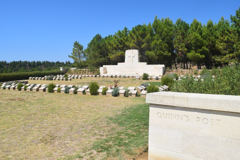
At the top of the hill was Quinn’s Post, considered “the most important and dangerous position on ANZAC” according to the plaque there. Both sides were only metres apart, and each side launched futile attacks against the other’s position in an attempt to take the strategic ground. It led to the deaths of hundreds of soldiers on both sides.
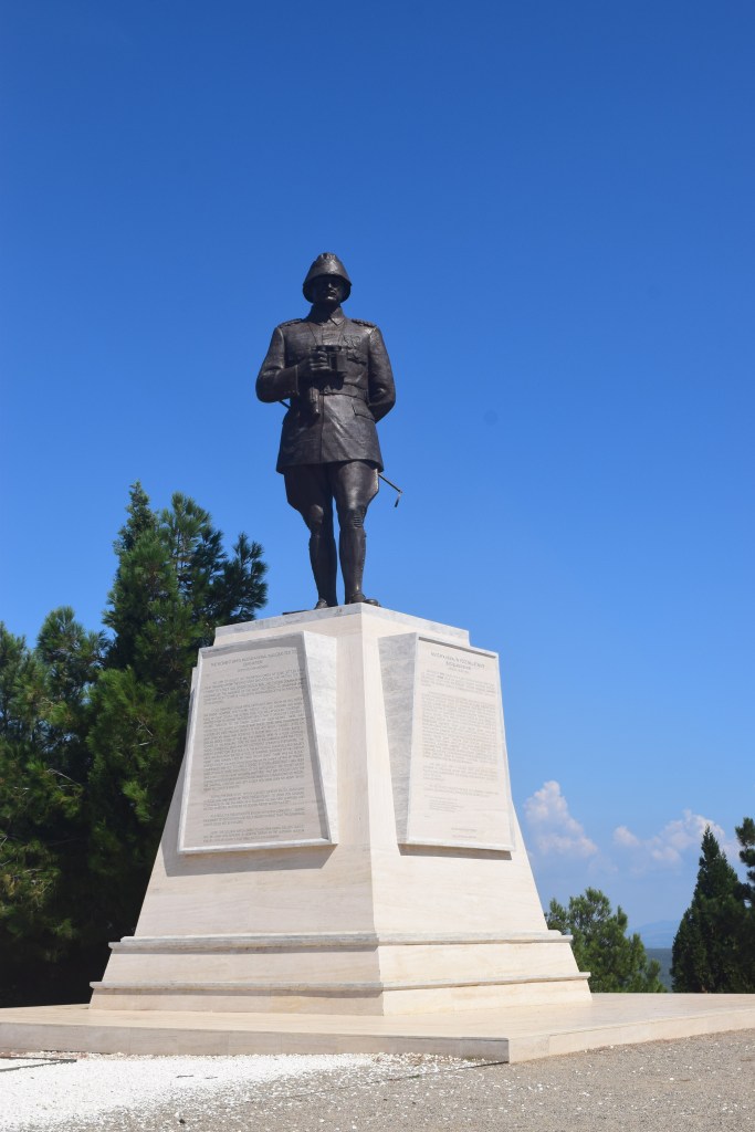
Travelling up the valleys, New Zealanders were able to briefly capture the strategic hilltop of Chunuk Bair. However, they could advance no further and a strong Ottoman counterattack caused the position to be lost and never regained.
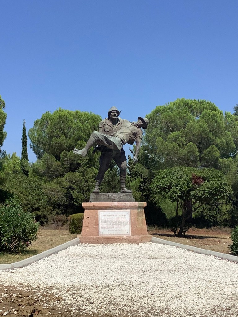
The Gallipoli peninsula is a place that is of greatest interest to history buffs, and I certainly enjoyed it more than Kim did. But we both agreed it was well worth the visit. Aside from the cost to cross the bridge there were no fees for any of the sites we visited. The peninsula was a clean, beautiful and peaceful place that felt very calm despite–or perhaps due to–the violent history behind it.
