

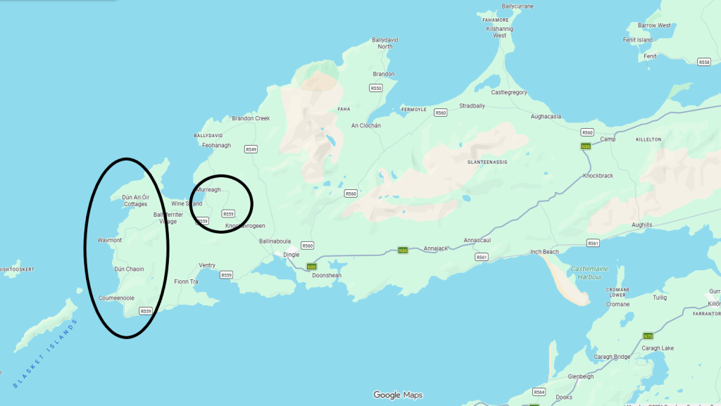
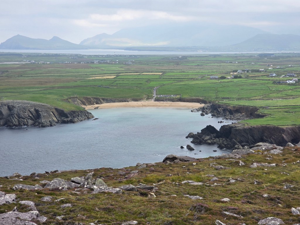
We spent one of our days on the Dingle peninsula driving the Slea Head Drive. This is a driving route that goes along the western coast of the peninsula and takes in some impressive views along the way. On the way back towards Dingle we stopped at some historical sites dating back to early medieval times.
We had six destinations:
- Dunmore Head
- Dunquin Pier
- Ceann Sibéal viewpoint
- Gallarus Oratory
- St. Brendan’s House
- Kilmalkedar Church
Starting close to Dingle the loop itself only takes about an hour to do, but with all the stop-offs you can easily spend three hours or more. We spent the entire day there and didn’t see everything there was to see!


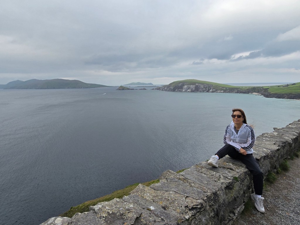
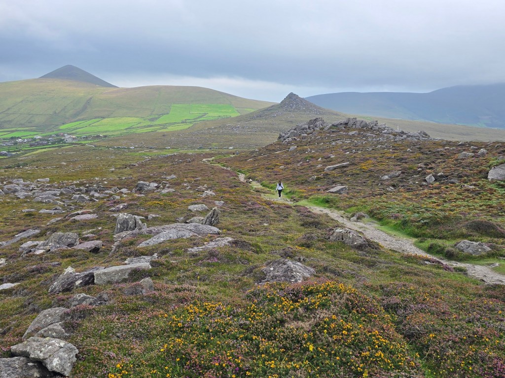
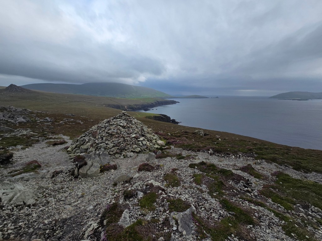
1. Dunmore Head
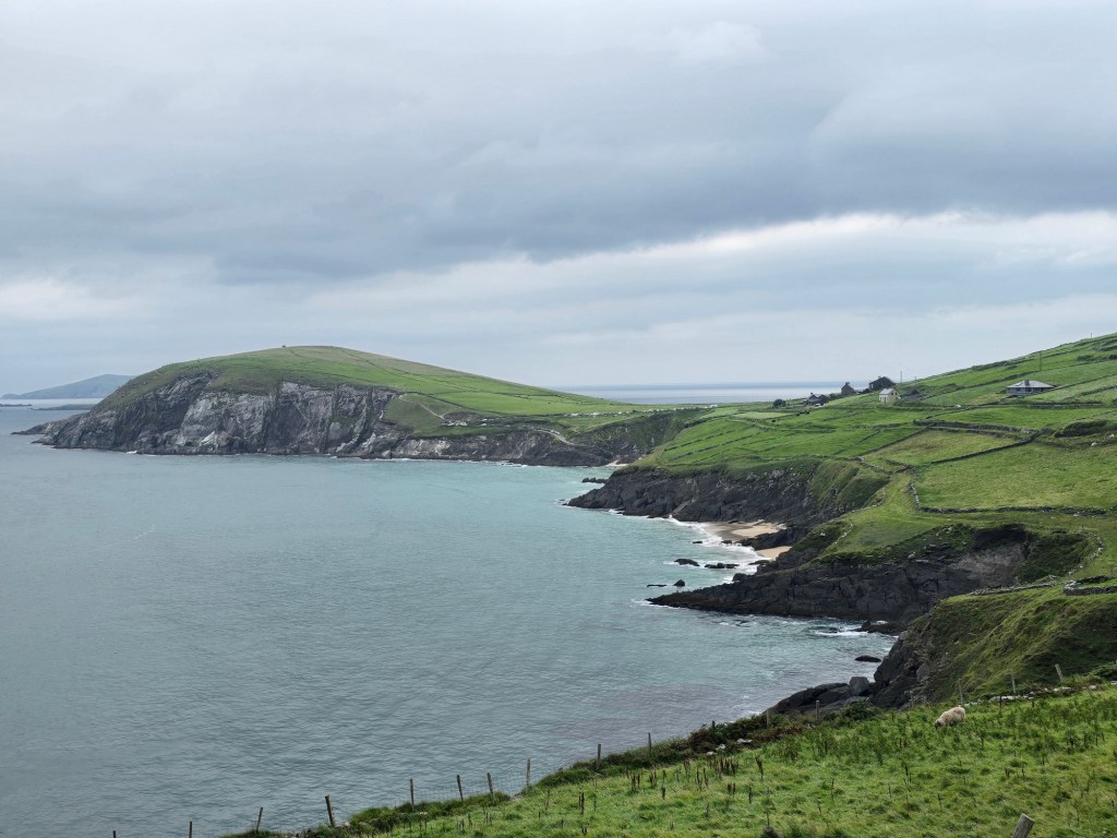
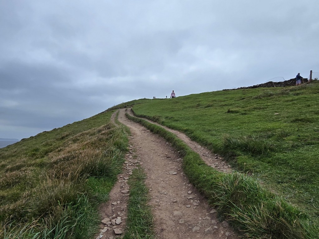
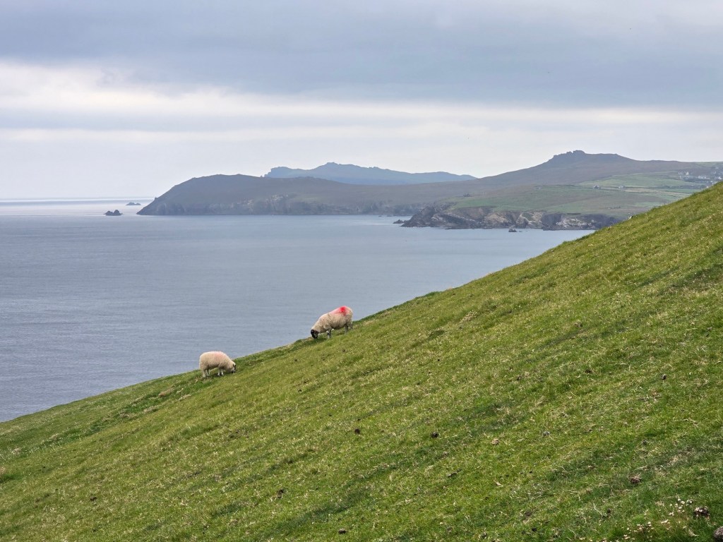
Dunmore Head is a great spot if you want to wander around and take in amazing views of the Atlantic. It’s also supposed to be the furthest west of Ireland you can go (not including islands).
But before taking in the vistas, we had to negotiate a crowded parking lot. Parking consists of a narrow switchback, but don’t go too far down because turning the car around gets more difficult the deeper you go! Fortunately we grabbed a spot near the entrance.


Dunmore Head gained international recognition as a filming location for Star Wars: The Last Jedi. The dramatic cliffs and surrounding landscape were used to depict the planet Ahch-To. Temporary film sets were constructed and later removed, but the cinematic scenery remains unchanged.


2. Dunquin Pier
It was a very short drive from Dunmore Head to our next destination, Dunquin Pier. This spot involved going down rather than going up.
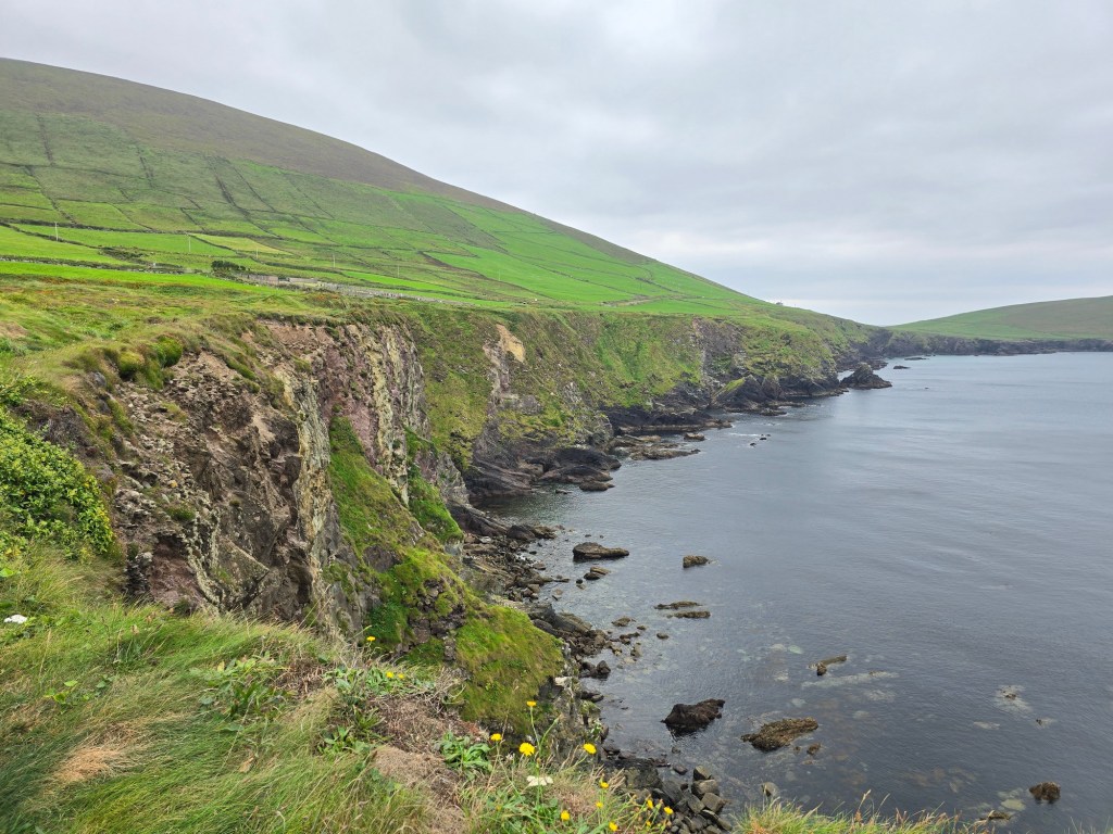

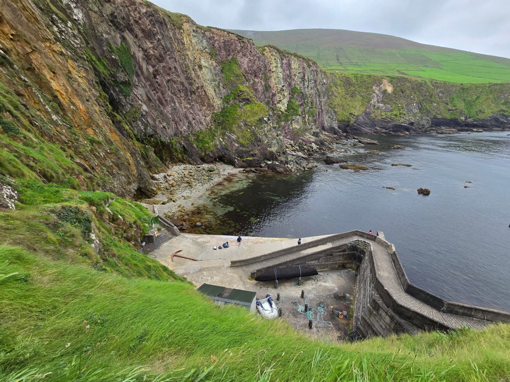
Cé Dhún Chaoin (Gaelic for Dunquin Head or Dunquin Pier) is a narrow, winding concrete slipway that zigzags down the cliffside into the Atlantic Ocean. The pier is the departure point for ferries to the Great Blasket Island, an island with a significant literary and cultural tradition that has been uninhabited since 1953. Unfortunately we didn’t have the time to make a trip to the Island so the pier was as close as we would get.

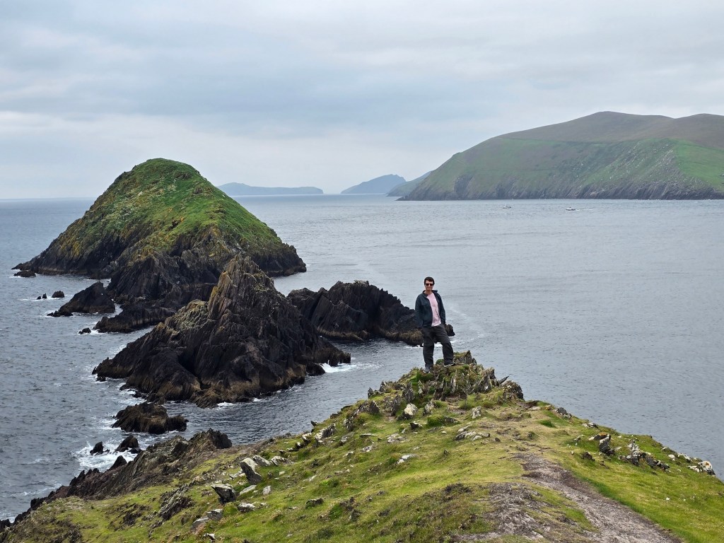
3. Ceann Sibéal viewpoint
Located just a further down the road, Ceann Sibéal (anglicised as Sybil Head) is a dramatic headland and natural viewpoint. It requires a short walk from the parking area, but this is a scenic stopping point that is well worth the short detour.

Ceann Sibéal sits on the western edge of the Dingle Peninsula, near the village of Ballyferriter. It’s a rocky headland rising above the Atlantic Ocean, with steep cliffs and expansive views toward the Blasket Islands off the coast. It isn’t directly on the main road in the same way as some other Slea Head stops. There’s a gravel road and a short walk/climb across open agricultural land to reach the best viewpoints.

Ceann Sibéal gained extra attention when nearby land was used as a filming location for Star Wars: The Last Jedi, where a temporary set representing the ancient Jedi temple was built. While the set has since been removed, the dramatic backdrop remains the same.


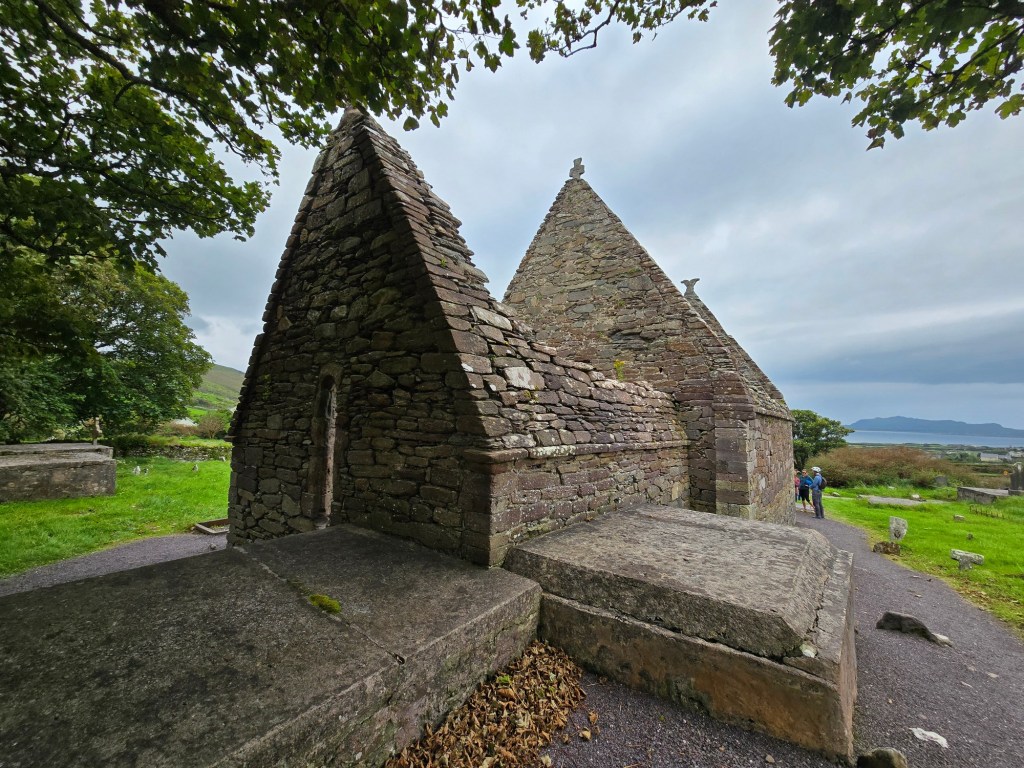
4. Gallarus Oratory
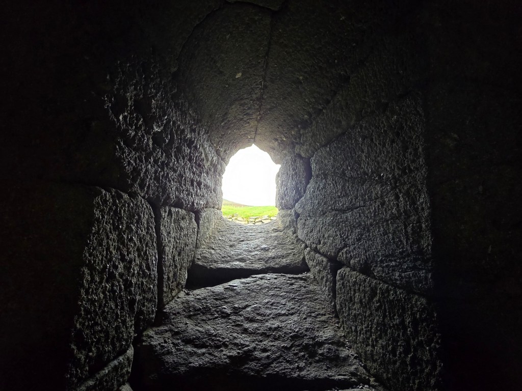
Turning our way back inland, we had a choice of sights to see including Gallarus Oratory located near the village of Ballydavid. Considered one of the best-preserved early medieval stone churches in Ireland, the oratory is built entirely of carefully fitted stone without mortar. It has survived for over a thousand years and still remains nearly waterproof.
Run by the Office of Public Works (OPW) the cost is 5 euros per person for the oratory. In our case we used our Heritage Card once again (great value!).


The building stands on a low hillside overlooking fields and the Atlantic coast. The exact construction date is debated among historians. According to the traditional view it was constructed between the 7th–8th century. However, some modern archaeologists believe it dates from the 9th–12th century. Either way, it belongs to Ireland’s early Christian period, when active monasteries and small churches once dotted the Irish countryside.
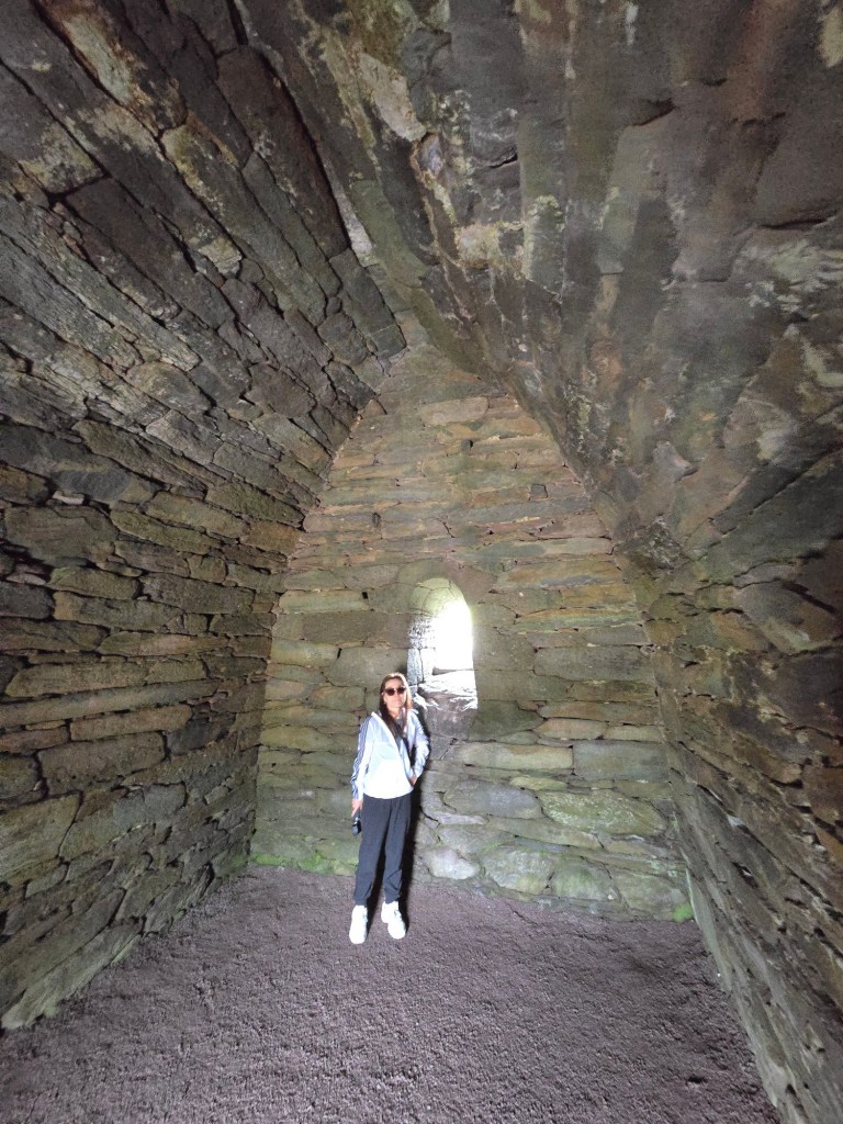

There are some local legends associated with the structure. One tradition claims that on the east wall there is a small window facing the rising sun. It it symbolically associated with resurrection and Christ’s light. The window provides a small amount of interior illumination and it is believed that anyone who climbs through the window will have their soul cleansed.We didn’t try that!
The oratory likely served as a chapel for monks, or a place of prayer for pilgrims traveling through the region.. Another theory suggests the building might originally have been a pilgrims’ shelter rather than a church, though most scholars believe it was religious.
5. St. Brendan’s House

Located a few minutes drive from the oratory, St Brendan’s House (also called “the Priest’s House”) is a late medieval building. Access is restricted to the inside of the building but we were able to get close.
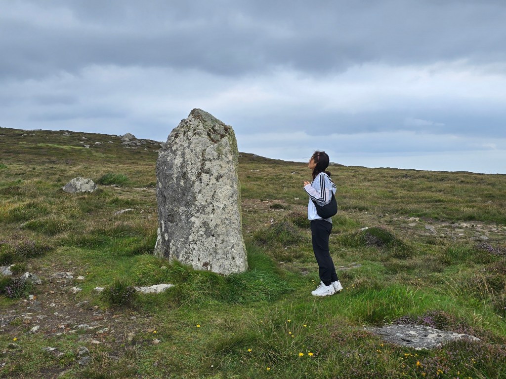
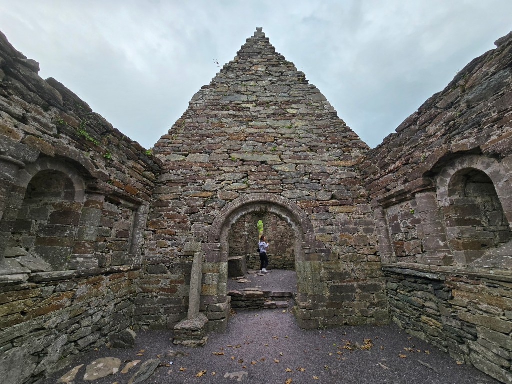
6. Kilmalkedar Church
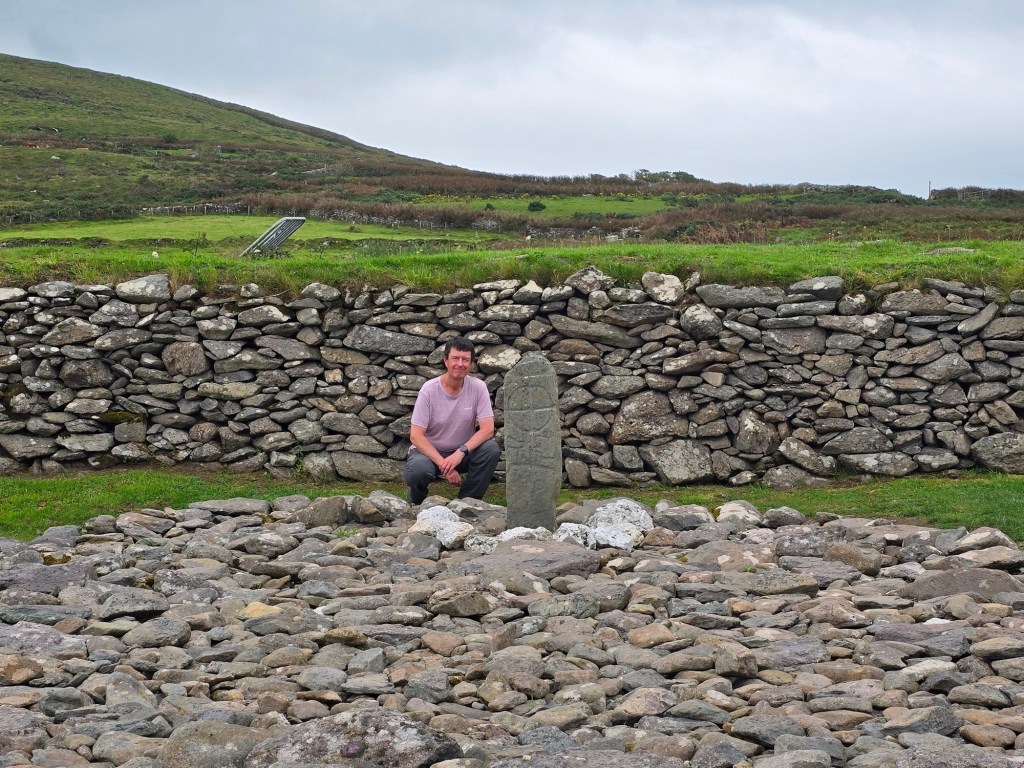
A short walk from St. Brendan’s House is Kilmalkedar, a site that is traditionally believed to have been founded in the early 7th century AD by St Maolcethair, a local Irish saint who died around 636 AD.

In front of the church is a holed Ogham stone. Ogham stones are ancient, primarily Irish, standing stones inscribed with the earliest form of Irish writing. Dating from the 4th to 9th centuries AD, they feature a unique script of parallel lines and notches. Ogham stones are usually found in the southwest of Ireland and often mark burial sites or boundaries. The one at Kilmalkedar possibly dates to the 5th or 6th century.

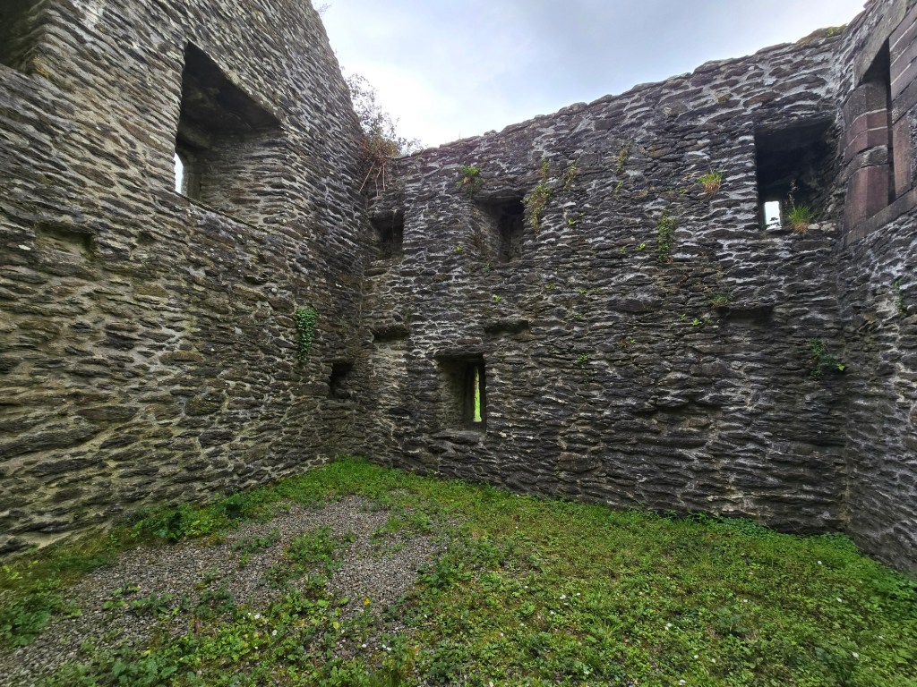
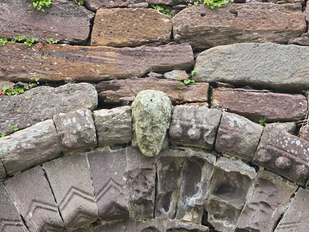
The stone church that stands today was built in the mid-12th century and extended shortly thereafter. It served as the parish church in the area from the 13th until the 16th century.
Over the centuries it became associated with St Brendan the Navigator, one of Ireland’s most famous early saints, and was part of an ancient pilgrimage route known as Cosán na Naomh (“Path of the Saints”) that trailed up toward Mount Brandon.

After finishing Kilmalkedar Church it was time to drive back to our accommodations close to Dingle. We were glad we spent three nights on the Dingle Peninsula. There were a number of activities to do around the region, and nature and history were both represented well there. It was also relatively quiet compared with other places we’d done so far, making it a worthy part of Ireland’s Wild Atlantic Way.
In the next post we head further north towards Galway as we continue along the Wild Atlantic Way.

One of my favourites – its stunning isn’t it
LikeLiked by 1 person
It’s a beautiful area, and well worth a return visit!
LikeLike